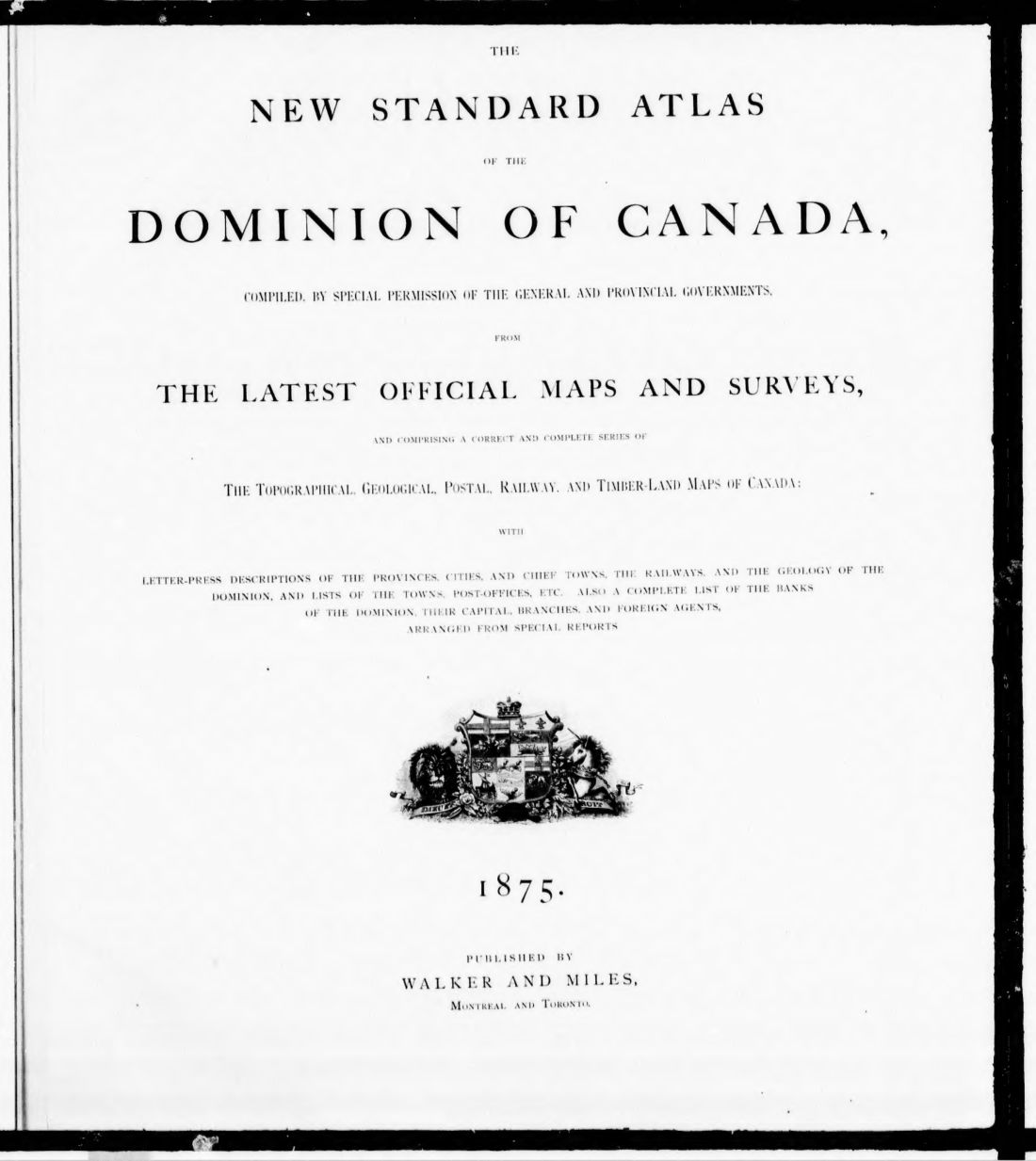
The New standard atlas of the Dominion of Canada : compiled by special permission of the general and provincial governments, from the latest official maps and surveys, and comprising a correct and complete series of the topographical, geological, postal, railway, and timber-land maps of Canada : with letter-press descriptions of the provinces, cities, and chief towns, the railways, and the geology of the Dominion, and lists of the towns, post-offices, etc. ; also a complete list of the banks of the Dominion, their capital, branches, and foreign agents, arranged from special reports
1875 · 553 pages
Download it from your account as soon as you have paid, as often as you need.
About this book
The New standard atlas of the Dominion of Canada was published by Walker and Miles in Montreal and Toronto in 1875. Compiled with special permission from general and provincial governments, it uses official maps and surveys to cover the Dominion of Canada.
This report contains topographical, geological, postal, railway, and timber-land maps. It includes letter-press descriptions of provinces, cities, chief towns, railways, and geology, alongside lists of towns and post-offices. A complete list of the banks of the Dominion, including their capital, branches, and foreign agents, is provided. The contents list specifies maps of provinces such as Ontario, Quebec, Nova Scotia, Prince Edward Island, New Brunswick, British Columbia, and Manitoba. Special features include a military defence map and a plan showing distances over all railways and between towns on highroads. The text also provides information on the climate, inland waters, and population of the region.
Details
- Title
- The New standard atlas of the Dominion of Canada : compiled by special permission of the general and provincial governments, from the latest official maps and surveys, and comprising a correct and complete series of the topographical, geological, postal, railway, and timber-land maps of Canada : with letter-press descriptions of the provinces, cities, and chief towns, the railways, and the geology of the Dominion, and lists of the towns, post-offices, etc. ; also a complete list of the banks of the Dominion, their capital, branches, and foreign agents, arranged from special reports
- Publisher
- Montreal; Toronto : Walker and Miles
- Published
- 1875
- Kind of book
- Company reports and surveys
- Country
- Canada
- Pages in the PDF
- 553
- Format
- PDF with a searchable text layer
- Scanned from the copy at
- Canadiana.org
Inside the book
More company reports and surveys
 CanadaThe new topographical atlas of the province of Ontario, Canada1879 · 472 pagesComplete PDF$14.99
 United StatesThe overland route to the Pacific1869 · 114 pagesComplete PDF$7.99
 United StatesThe philosophy of the great R.R. strike1877 · 8 pagesComplete PDF$7.99
 United StatesTHE RAILWAY SHAREHOLDERS MANUAL1845 · 276 pagesComplete PDF$14.99
 CanadaThe Red River country, Hudson's Bay and North-West Territories considered in relation to Canada1869 · 225 pagesComplete PDF$9.99
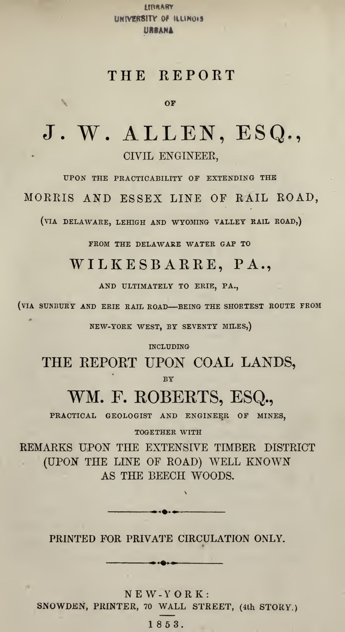 United StatesThe report of J.W1853 · 62 pagesComplete PDF$7.99
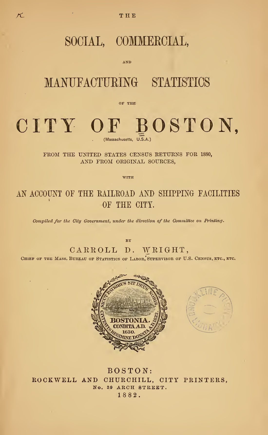 United StatesThe social, commercial and manufacturing statistics of the city of Boston1880 · 281 pagesComplete PDF$14.99
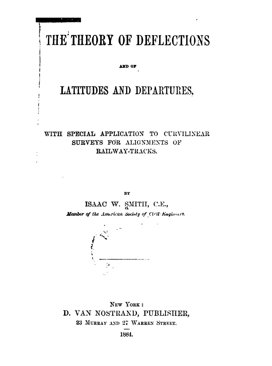 United StatesThe theory of deflections and of latitudes and departures1884 · 241 pagesComplete PDF$9.99