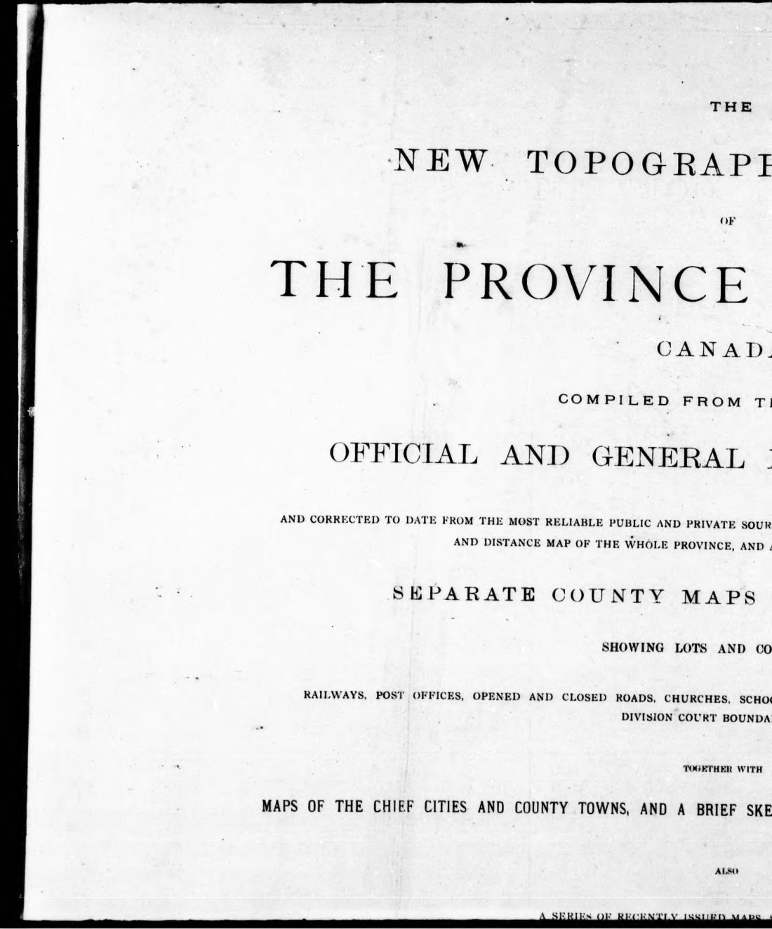
The new topographical atlas of the province of Ontario, Canada : compiled from the latest official and general maps and surveys, and corrected to date from the most reliable public and private sources of information : comprising an official railway, postal and distance map of the whole province and a correct and complete series of separate county maps on a large scale showing lots and concessions, railways, post offices, opened and closed roads, churches, schoolhouses, main travelled roads, county statistics, division court boundaries, &c. : together with maps of the chief cities and county towns and a brief sketch of the history, and geology of the province, also a series of recently issued maps showing the whole Dominion of Canada and the United States
1879 · 472 pages
Download it from your account as soon as you have paid, as often as you need.
About this book
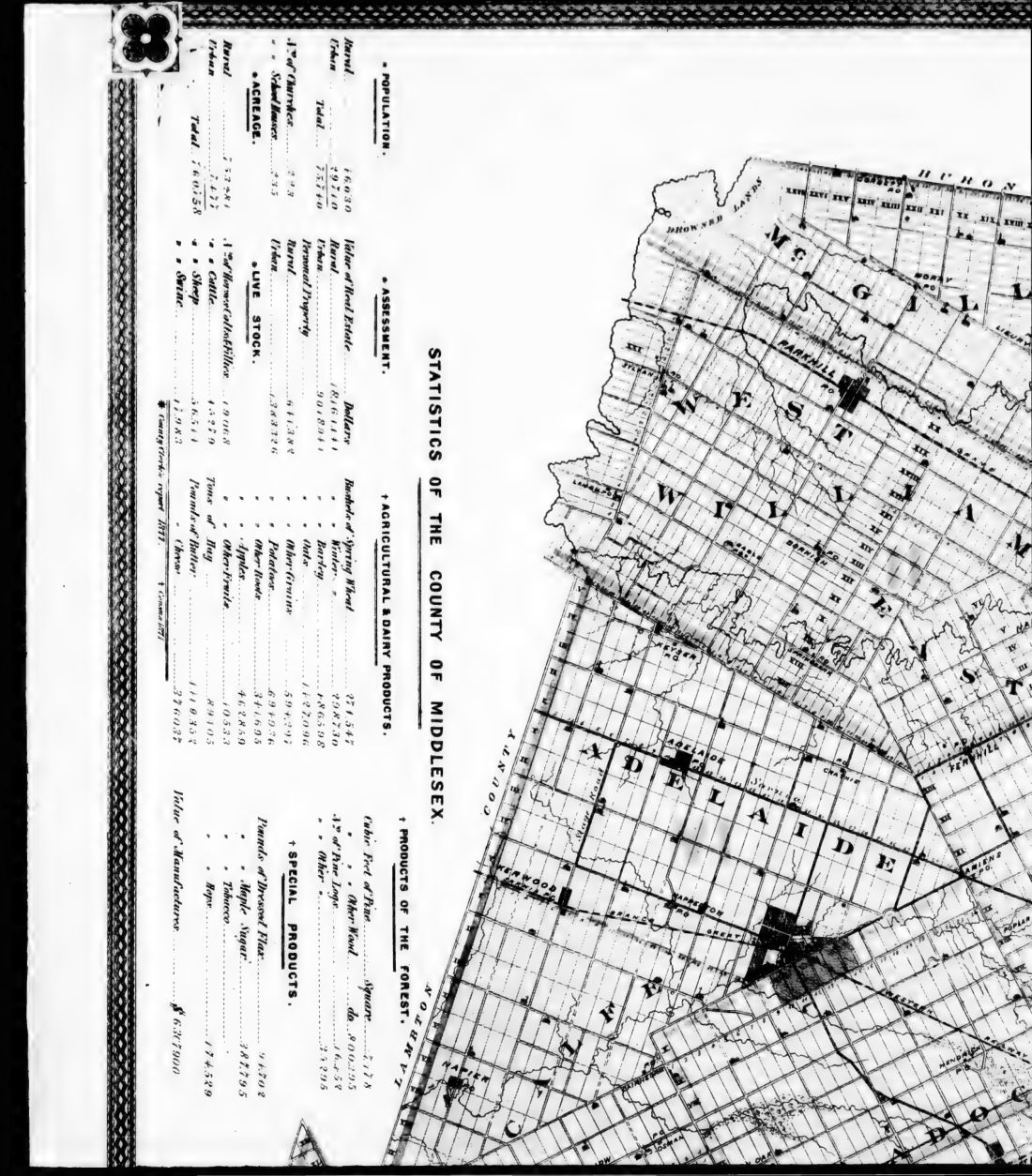
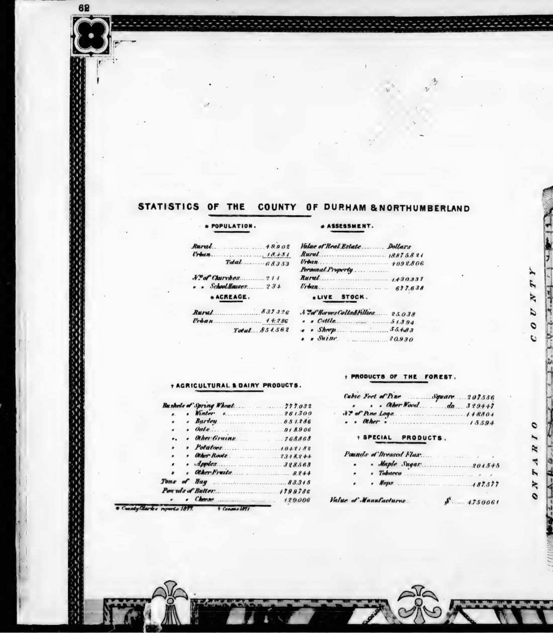
Contents include an official railway, postal and distance map of the whole province, alongside a series of separate county maps on a large scale. These county maps show railways, post offices, opened and closed roads, churches, school-houses, main travelled roads, county statistics, and division court boundaries. The work also contains maps of chief cities and county towns, a brief sketch of the history and geology of the province, and maps showing the Dominion of Canada and the United States. A list of town maps includes locations such as Barrie, Berlin, and Owen Sound. City maps are provided for Hamilton, Kingston, London, Ottawa, and Toronto. Advertisements for firms such as Sidney Shepard & Co. and Rolph Smith & Co. are also included.
Details
- Title
- The new topographical atlas of the province of Ontario, Canada : compiled from the latest official and general maps and surveys, and corrected to date from the most reliable public and private sources of information : comprising an official railway, postal and distance map of the whole province and a correct and complete series of separate county maps on a large scale showing lots and concessions, railways, post offices, opened and closed roads, churches, schoolhouses, main travelled roads, county statistics, division court boundaries, &c. : together with maps of the chief cities and county towns and a brief sketch of the history, and geology of the province, also a series of recently issued maps showing the whole Dominion of Canada and the United States
- Publisher
- Toronto : Miles
- Published
- 1879
- Kind of book
- Company reports and surveys
- Country
- Canada
- Pages in the PDF
- 472
- Format
- PDF with a searchable text layer
- Scanned from the copy at
- Canadiana.org
Inside the book

More company reports and surveys
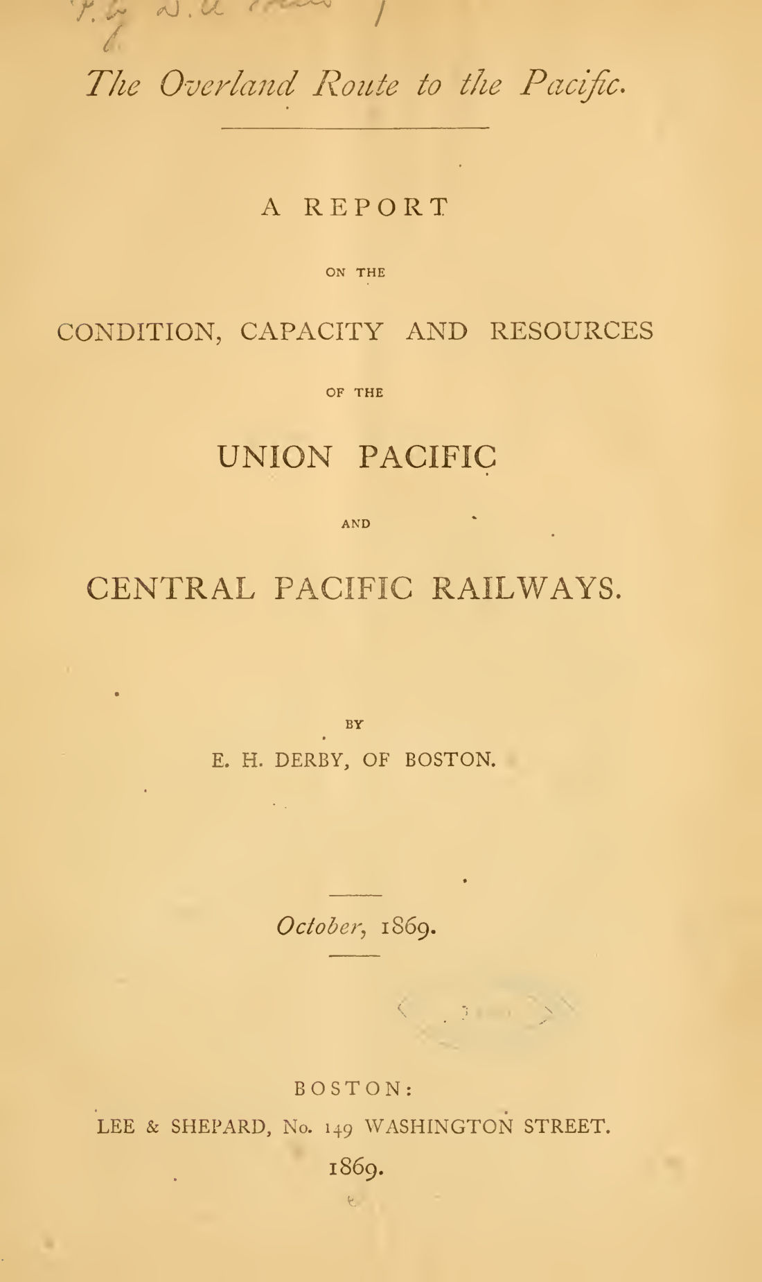 United StatesThe overland route to the Pacific1869 · 114 pagesComplete PDF$7.99
 United StatesThe philosophy of the great R.R. strike1877 · 8 pagesComplete PDF$7.99
 United StatesTHE RAILWAY SHAREHOLDERS MANUAL1845 · 276 pagesComplete PDF$14.99
 CanadaThe Red River country, Hudson's Bay and North-West Territories considered in relation to Canada1869 · 225 pagesComplete PDF$9.99
 United StatesThe report of J.W1853 · 62 pagesComplete PDF$7.99
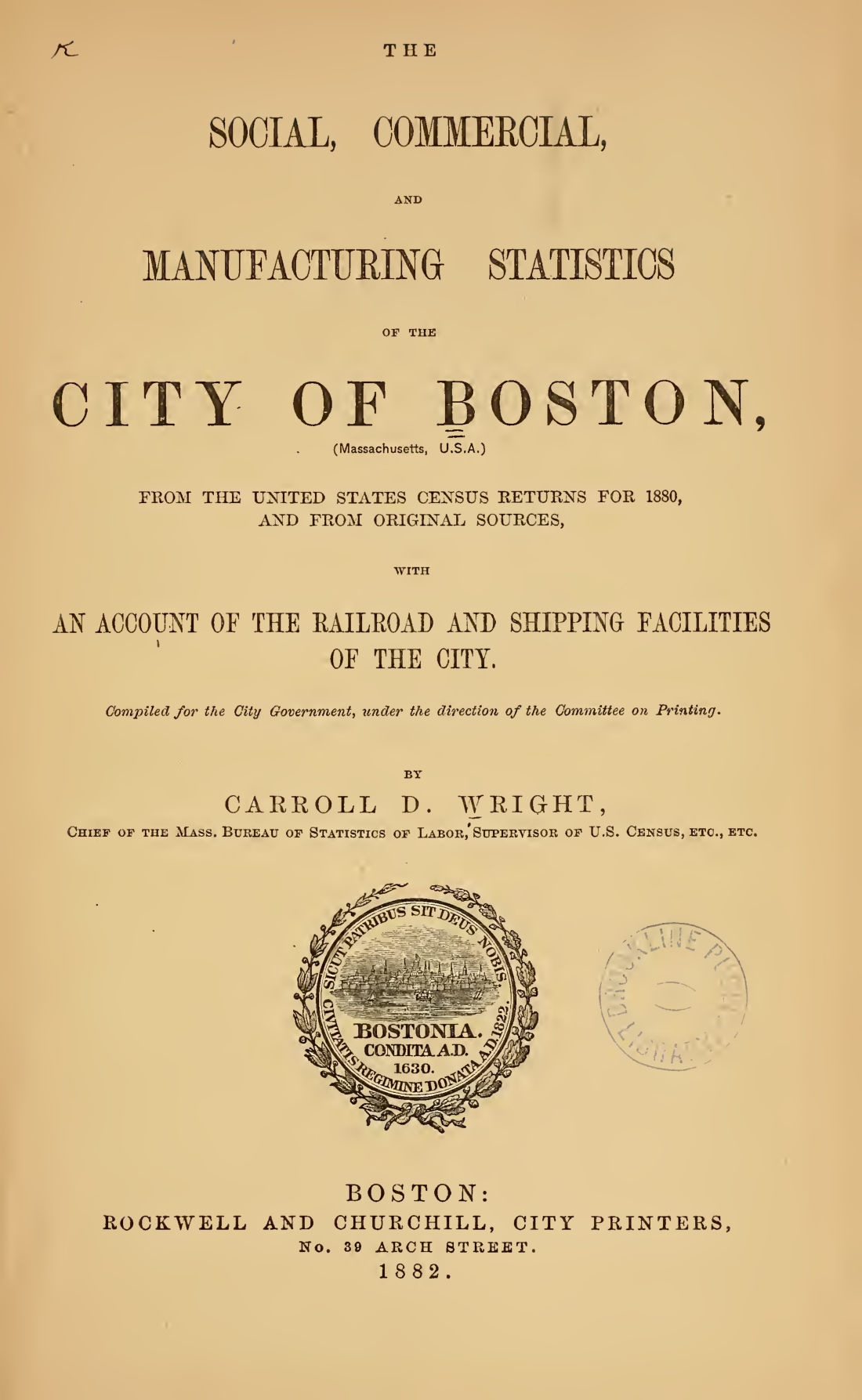 United StatesThe social, commercial and manufacturing statistics of the city of Boston1880 · 281 pagesComplete PDF$14.99
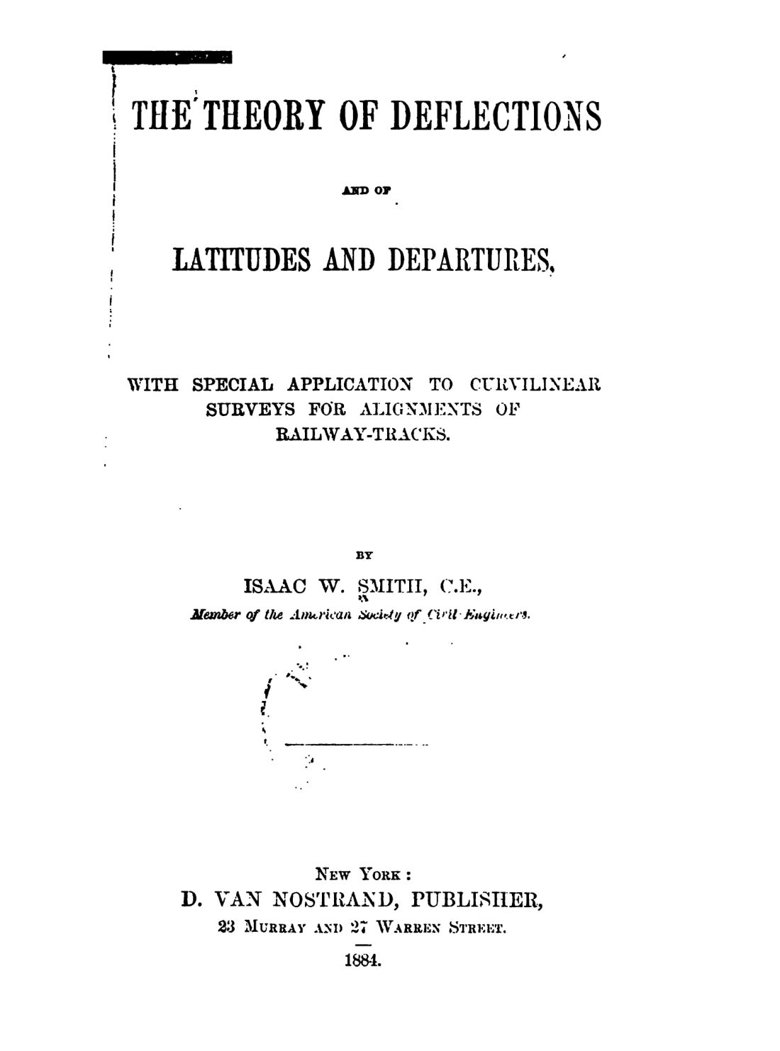 United StatesThe theory of deflections and of latitudes and departures1884 · 241 pagesComplete PDF$9.99
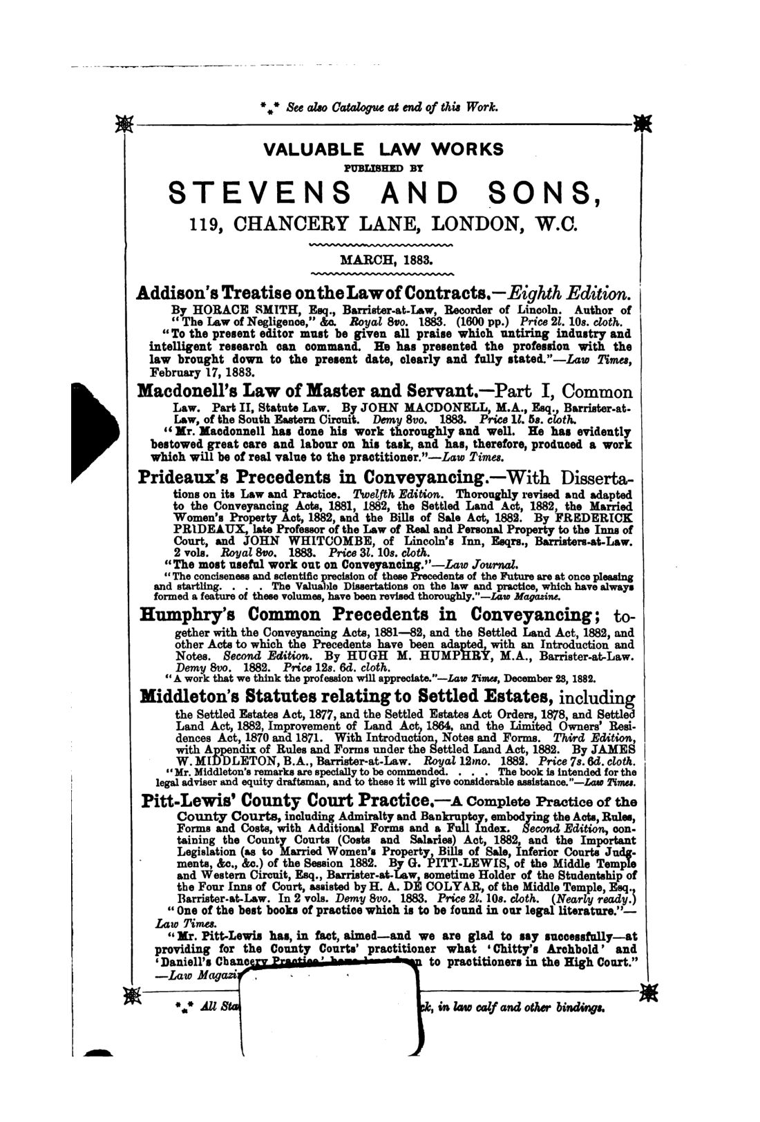 Britain and IrelandThe tramway acts of the United Kingdom1883 · 420 pagesComplete PDF$14.99