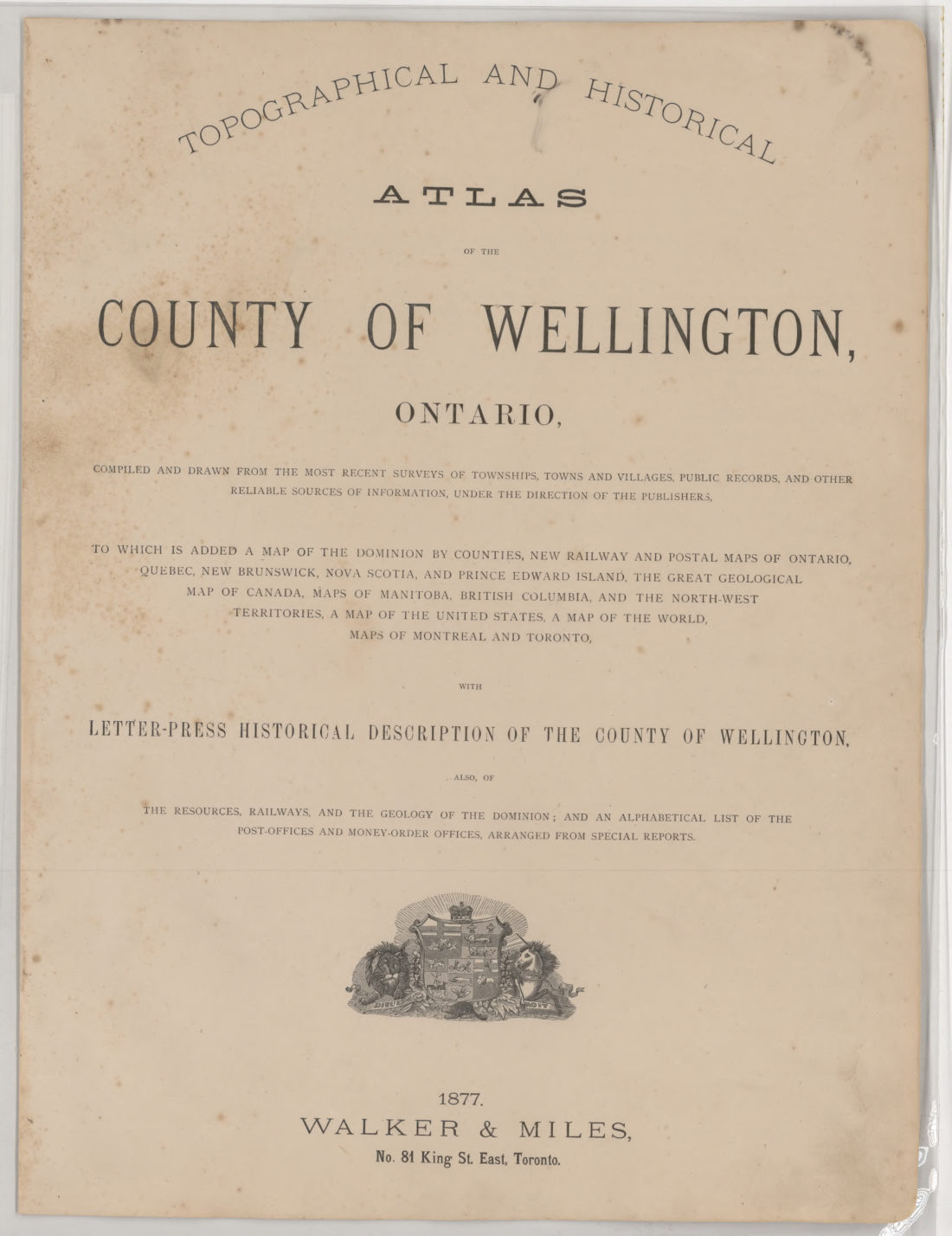
Topographical and historical atlas of the county of Wellington, Ontario : compiled and drawn from the most recent surveys of townships, towns and villages, public records, and other reliable sources of information, under the direction of the publishers : to which is added a map of the Dominion by counties, new railway and postal maps of Ontario, Quebec, New Brunswick, Nova Scotia and Prince Edward Island, the great geological map of Canada, maps of Manitoba, British Columbia, and the North-West Territories, a map of the United States, a map of the world, maps of Montreal and Toronto : with letter-press historical description of the county of Wellington : also, of the resources, railways and the geology of the Dominion, and an alphabetical list of the post-offices and money-order offices, arranged from special reports
1877 · 111 pages
Download it from your account as soon as you have paid, as often as you need.
About this book
Topographical and historical atlas of the county of Wellington, Ontario was issued in 1877 by Walker & Miles, located at No. 84 King St. East, Toronto. This report was compiled and drawn from public records, recent surveys of towns, townships and villages, and other reliable sources under the direction of the publishers.
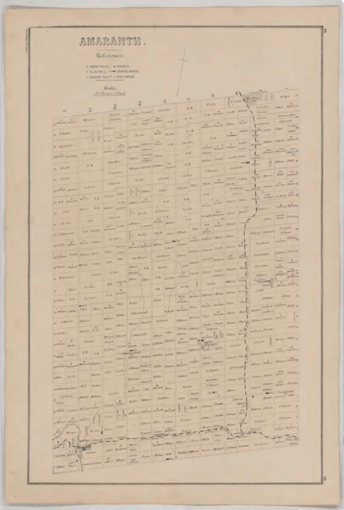
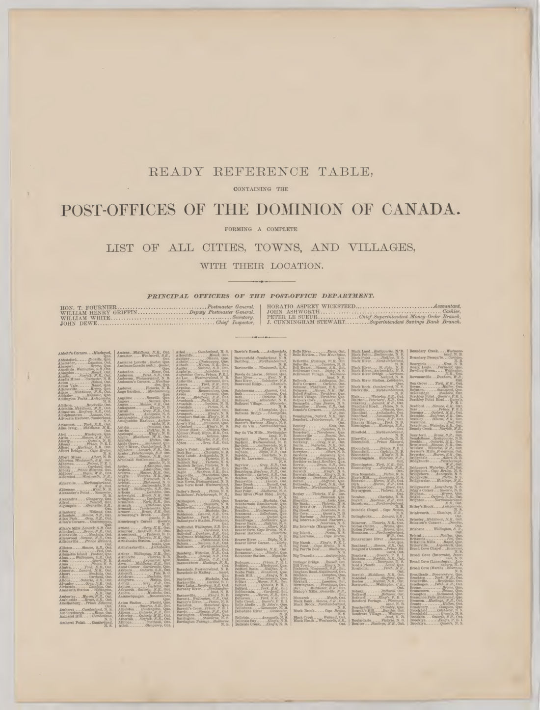
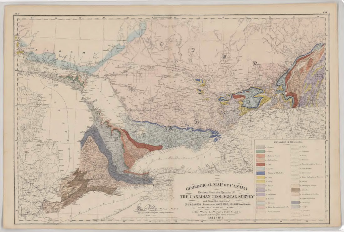
Contents include a historical description of the county of Wellington, alongside information on the resources, railways and geology of the Dominion. It features a map of the entire county prepared by Alfred T. Cotterell, and plans for towns including Guelph, Mount Forrest, Elora, Fergus, Morriston, Rockwood, Arthur, and Drayton. The work contains railway and postal maps of Ontario, Quebec, New Brunswick, Nova Scotia and Prince Edward Island, as well as maps of Manitoba, British Columbia, the North-West Territories, the United States, and the world. A Geological Map of Canada by Sir Wm. E. Logan is included, together with an alphabetical list of post-offices and money-order offices.
Details
- Title
- Topographical and historical atlas of the county of Wellington, Ontario : compiled and drawn from the most recent surveys of townships, towns and villages, public records, and other reliable sources of information, under the direction of the publishers : to which is added a map of the Dominion by counties, new railway and postal maps of Ontario, Quebec, New Brunswick, Nova Scotia and Prince Edward Island, the great geological map of Canada, maps of Manitoba, British Columbia, and the North-West Territories, a map of the United States, a map of the world, maps of Montreal and Toronto : with letter-press historical description of the county of Wellington : also, of the resources, railways and the geology of the Dominion, and an alphabetical list of the post-offices and money-order offices, arranged from special reports
- Publisher
- Toronto : Walker & Miles
- Published
- 1877
- Kind of book
- Company reports and surveys
- Country
- Canada
- Pages in the PDF
- 111
- Format
- PDF with a searchable text layer
- Scanned from the copy at
- McGill University Library
Inside the book
More company reports and surveys
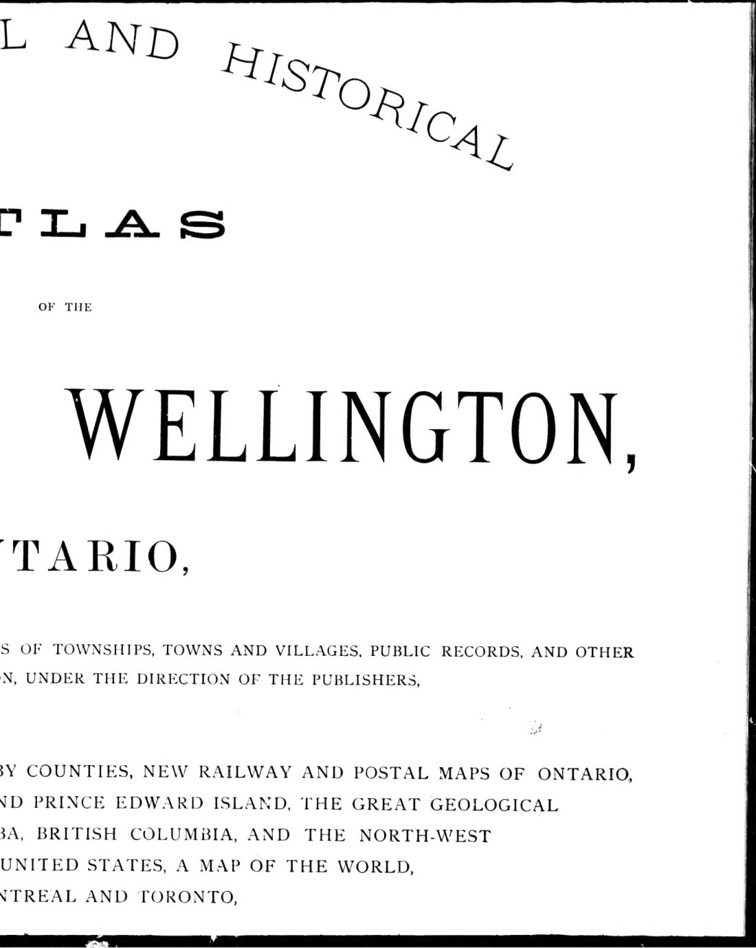 CanadaTopographical and historical atlas of the county of Wellington, Ontario1877 · 442 pagesComplete PDF$14.99
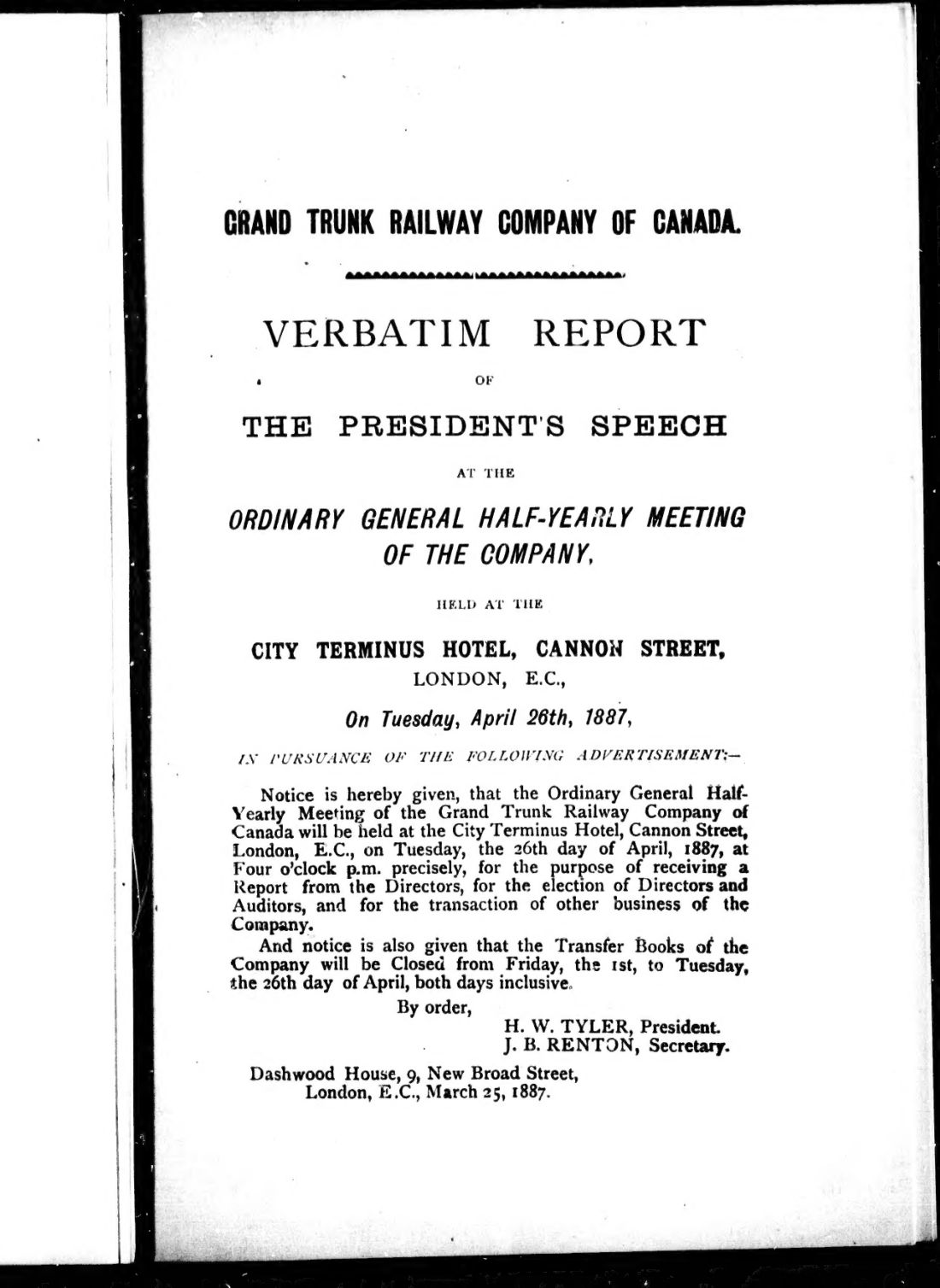 Britain and IrelandVerbatim report of the president's speech at ordinary general half-yearly meeting of the company1887 · 34 pagesComplete PDF$7.99
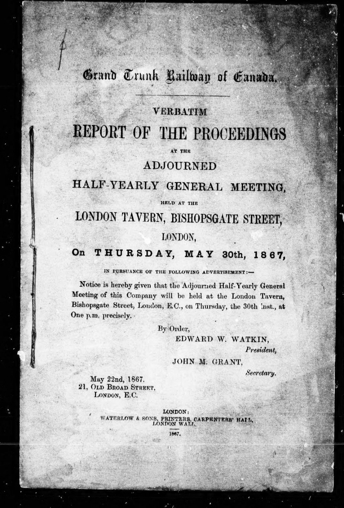 Britain and IrelandVerbatim report of the proceedings at the adjourned half-yearly general meeting1867 · 23 pagesComplete PDF$7.99
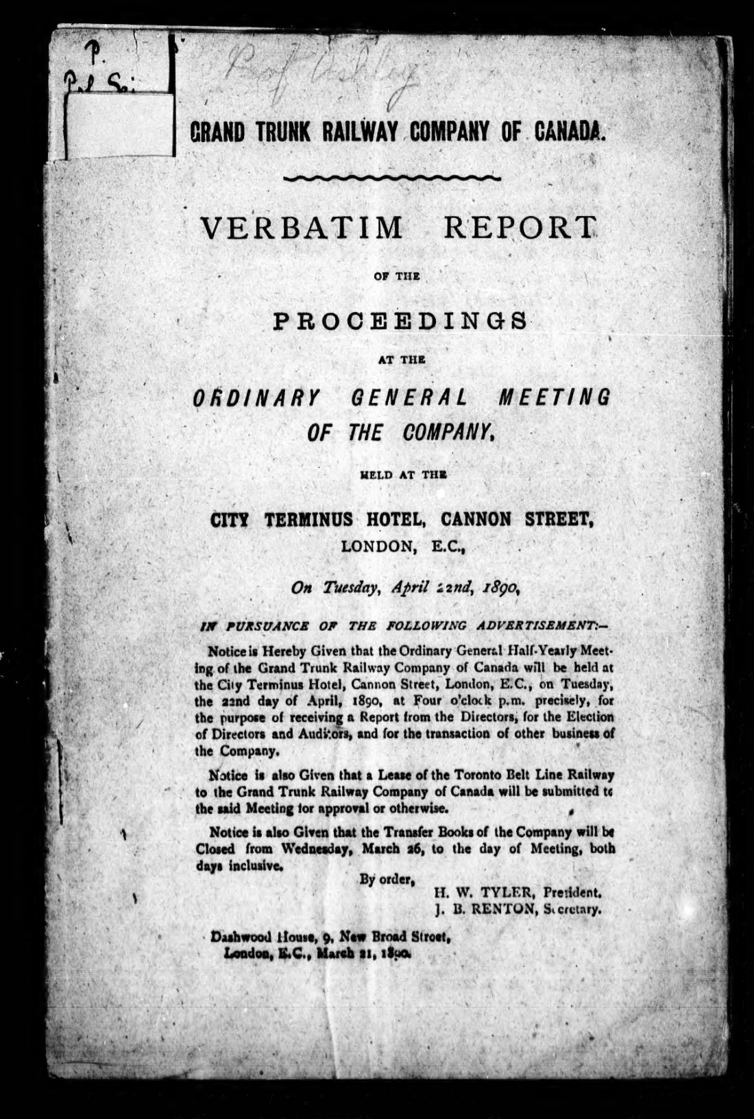 Britain and IrelandVerbatim report of the proceedings at the ordinary general meeting of the Company1890 · 36 pagesComplete PDF$7.99
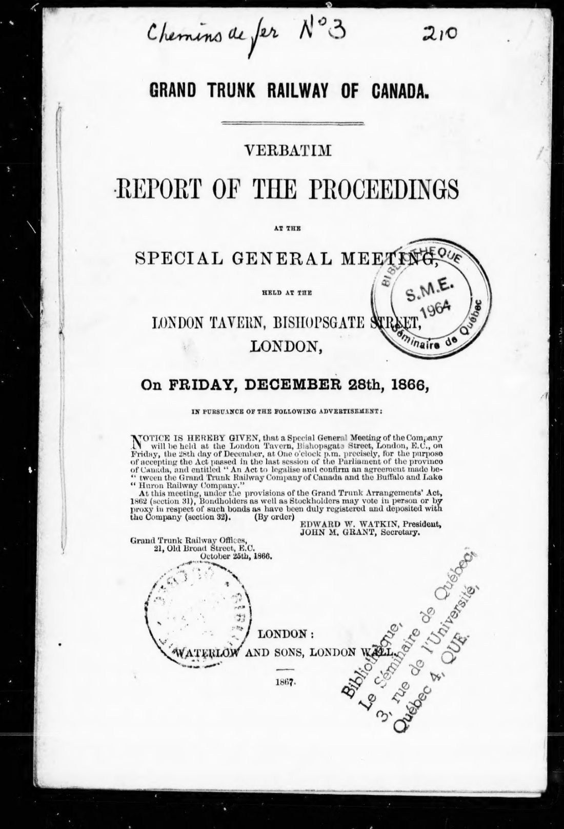 Britain and IrelandVerbatim report of the proceedings at the special general meeting1866 · 32 pagesComplete PDF$7.99
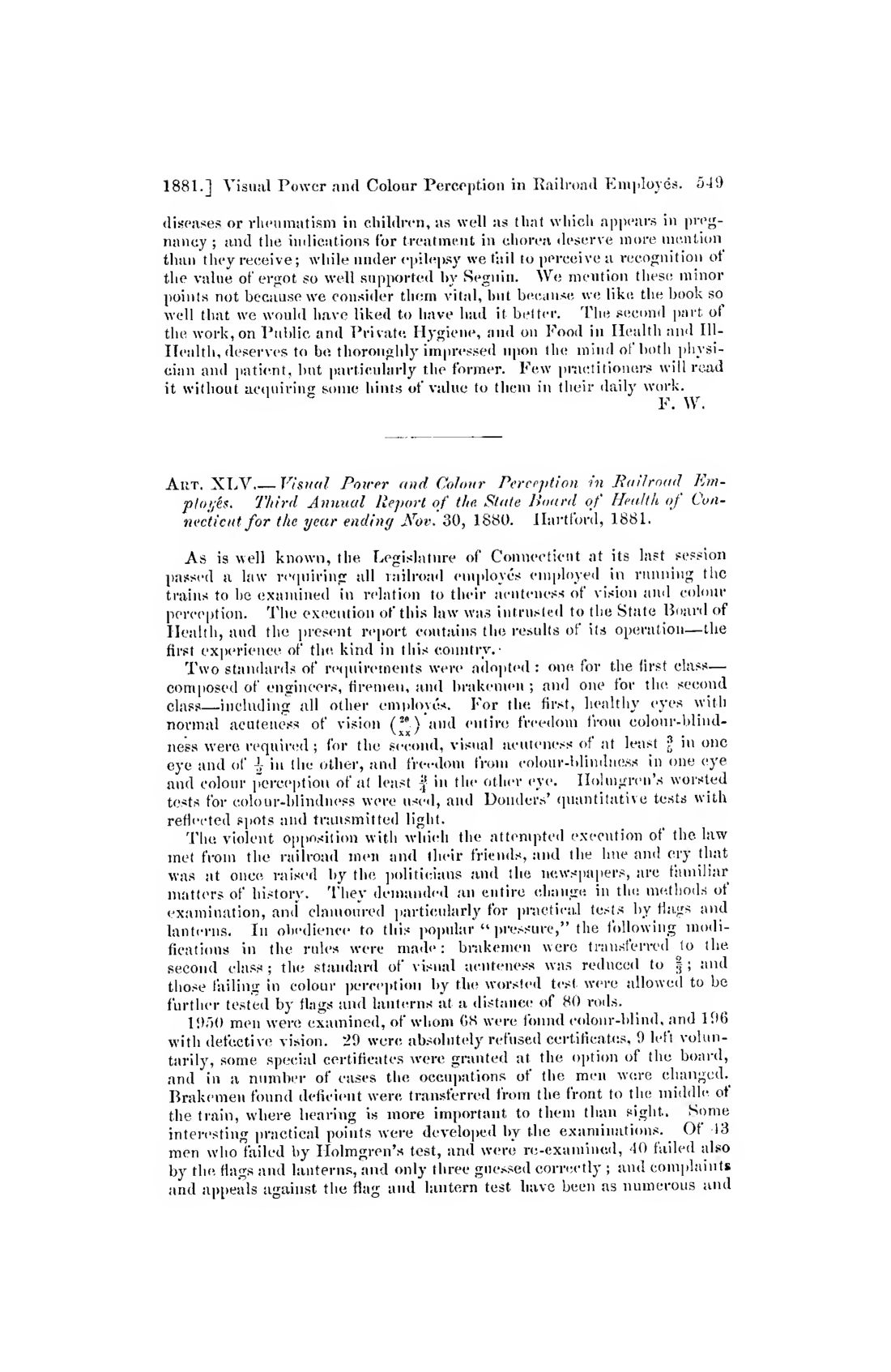 United StatesVisual Power and Colour Perception in Railroad Employés1880 · 2 pagesComplete PDF$7.99
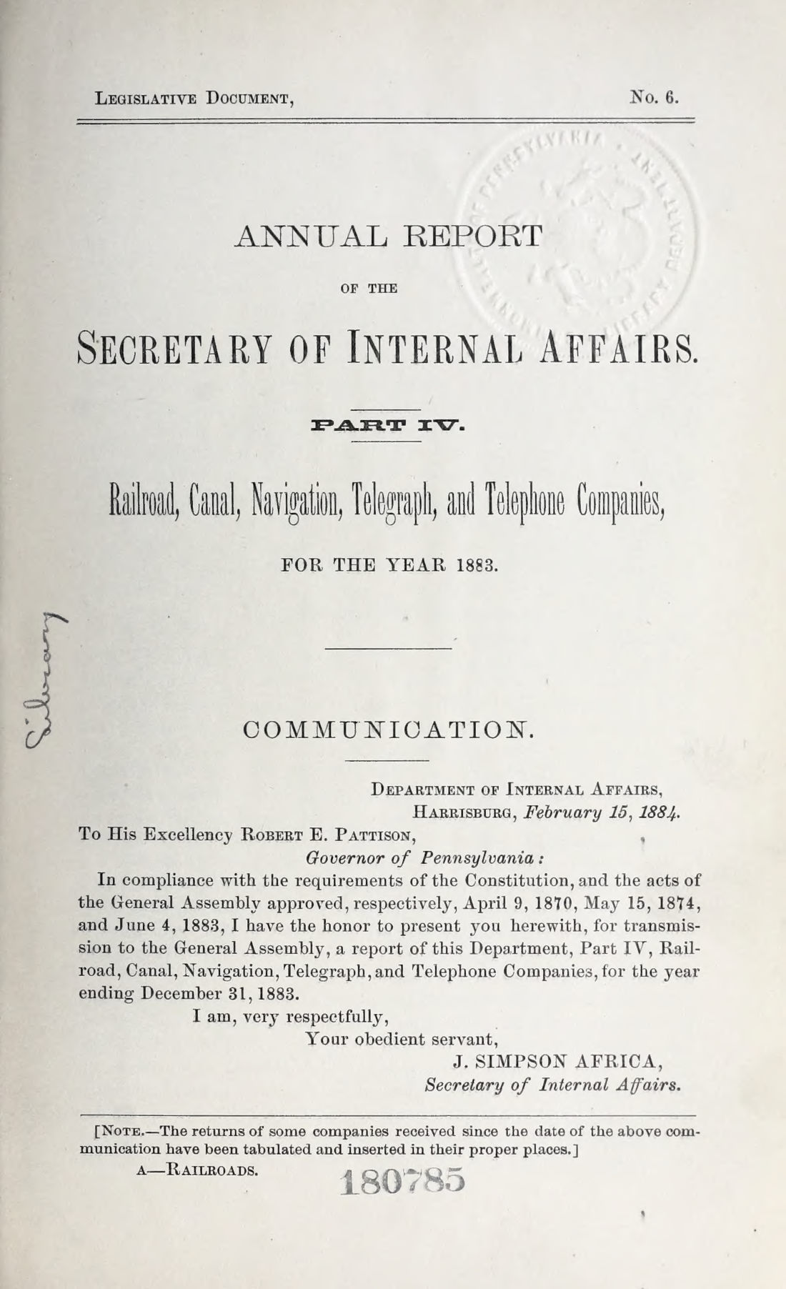 United StatesVol. 18831883 · 507 pagesComplete PDF$19.99
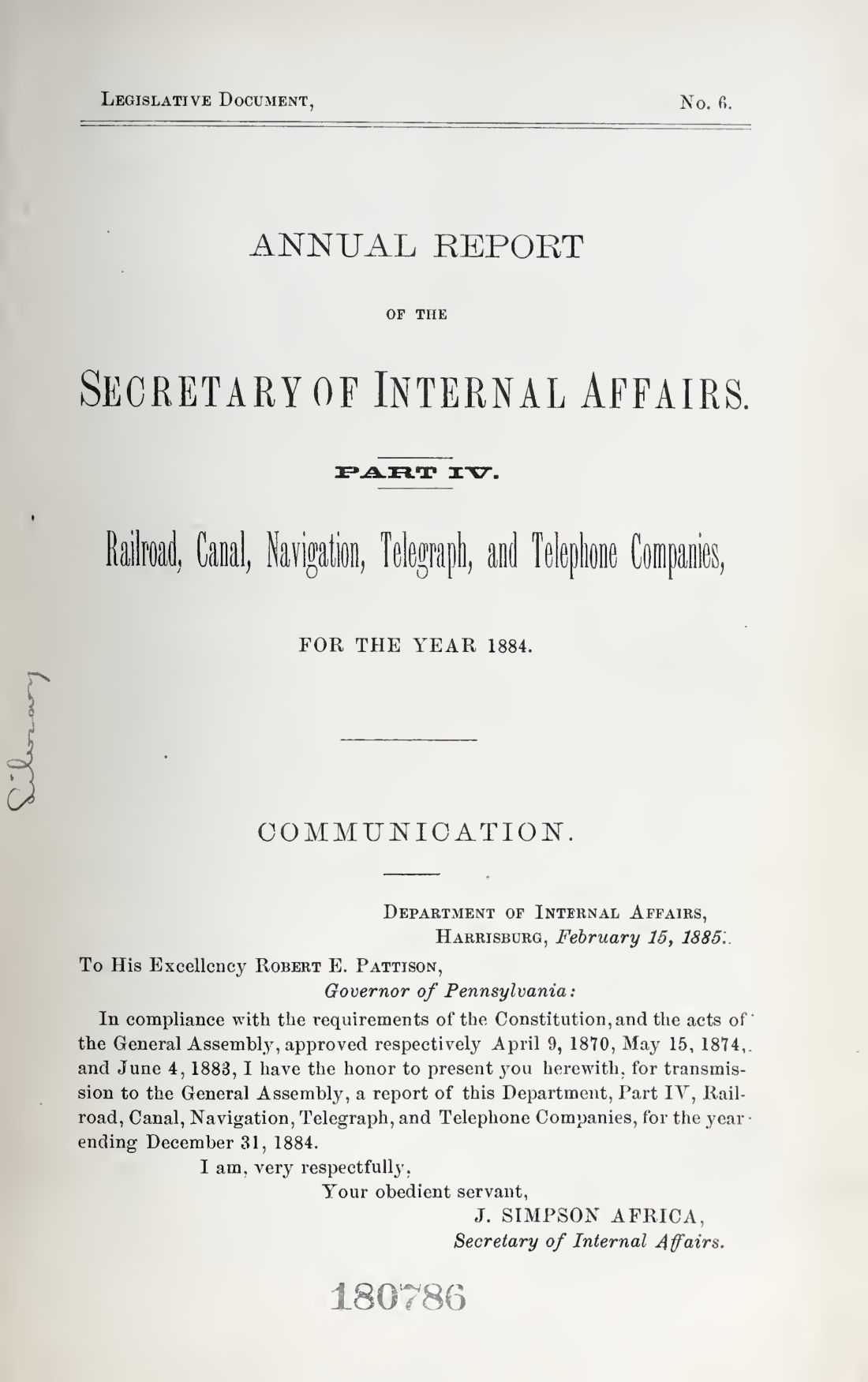 United StatesVol. 18841884 · 487 pagesComplete PDF$14.99