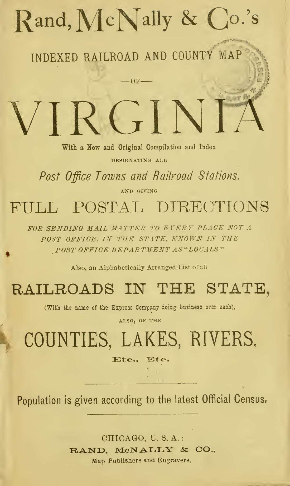
Rand, McNally's indexed railroad and county map of Virginia
1883 · 72 pages
Download it from your account as soon as you have paid, as often as you need.
About this book
Rand, McNally's indexed railroad and county map of Virginia is a pamphlet issued by Rand, McNally & Co., Map Publishers and Engravers in Chicago, U.S.A. It provides a compilation and index of railroad stations and post office towns within the state of Virginia.
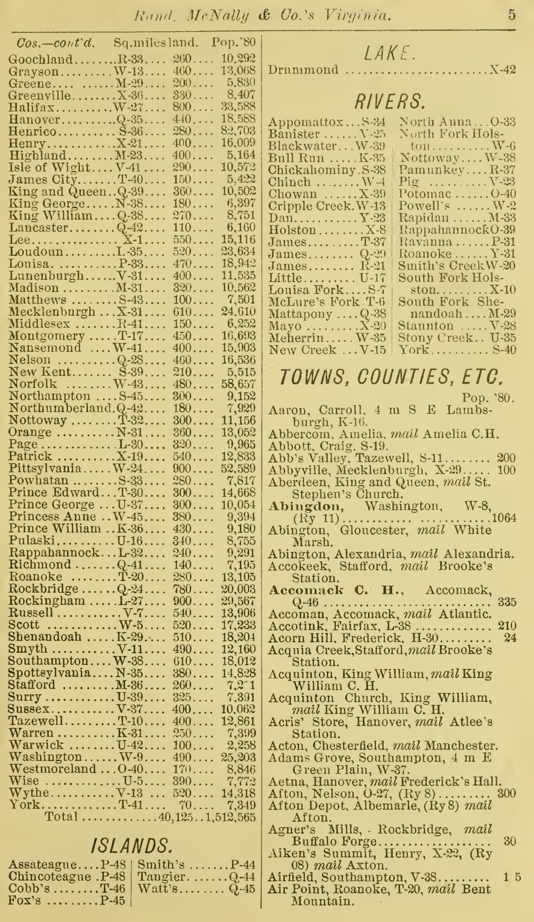
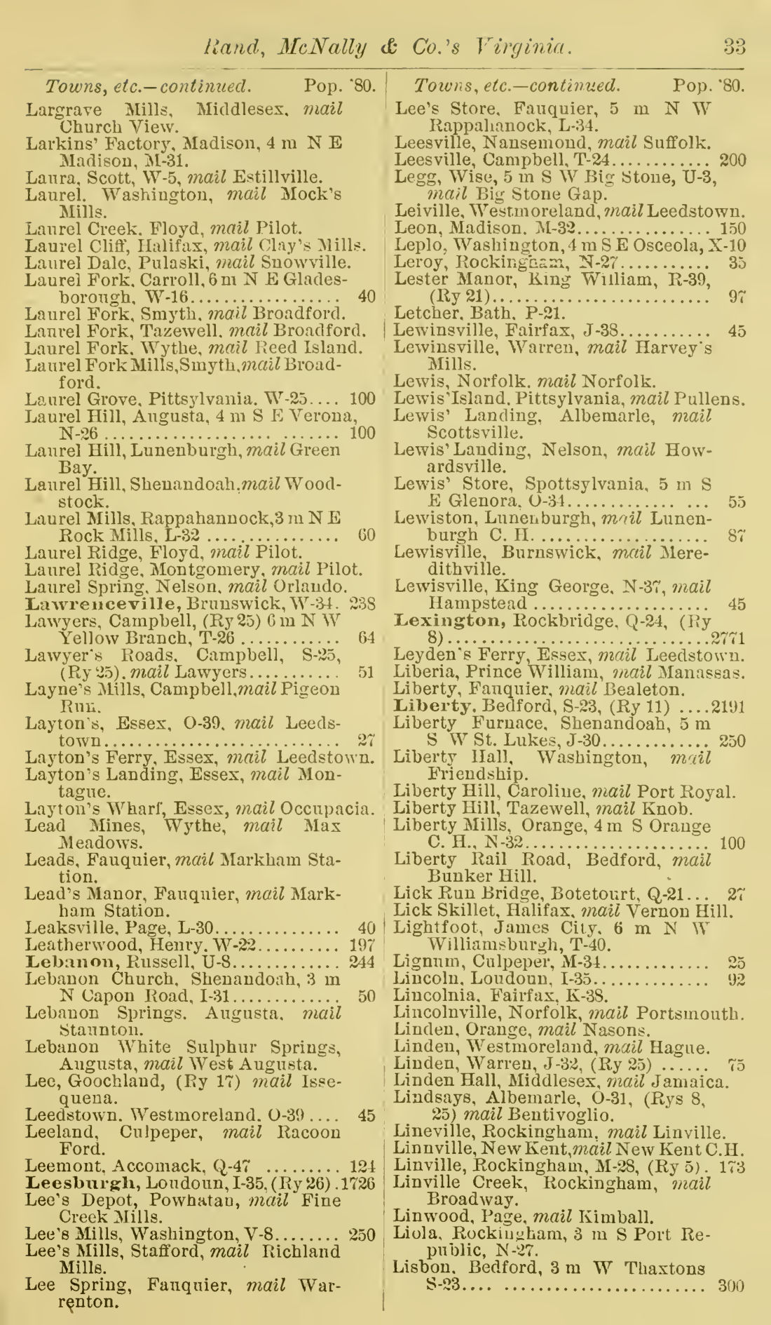
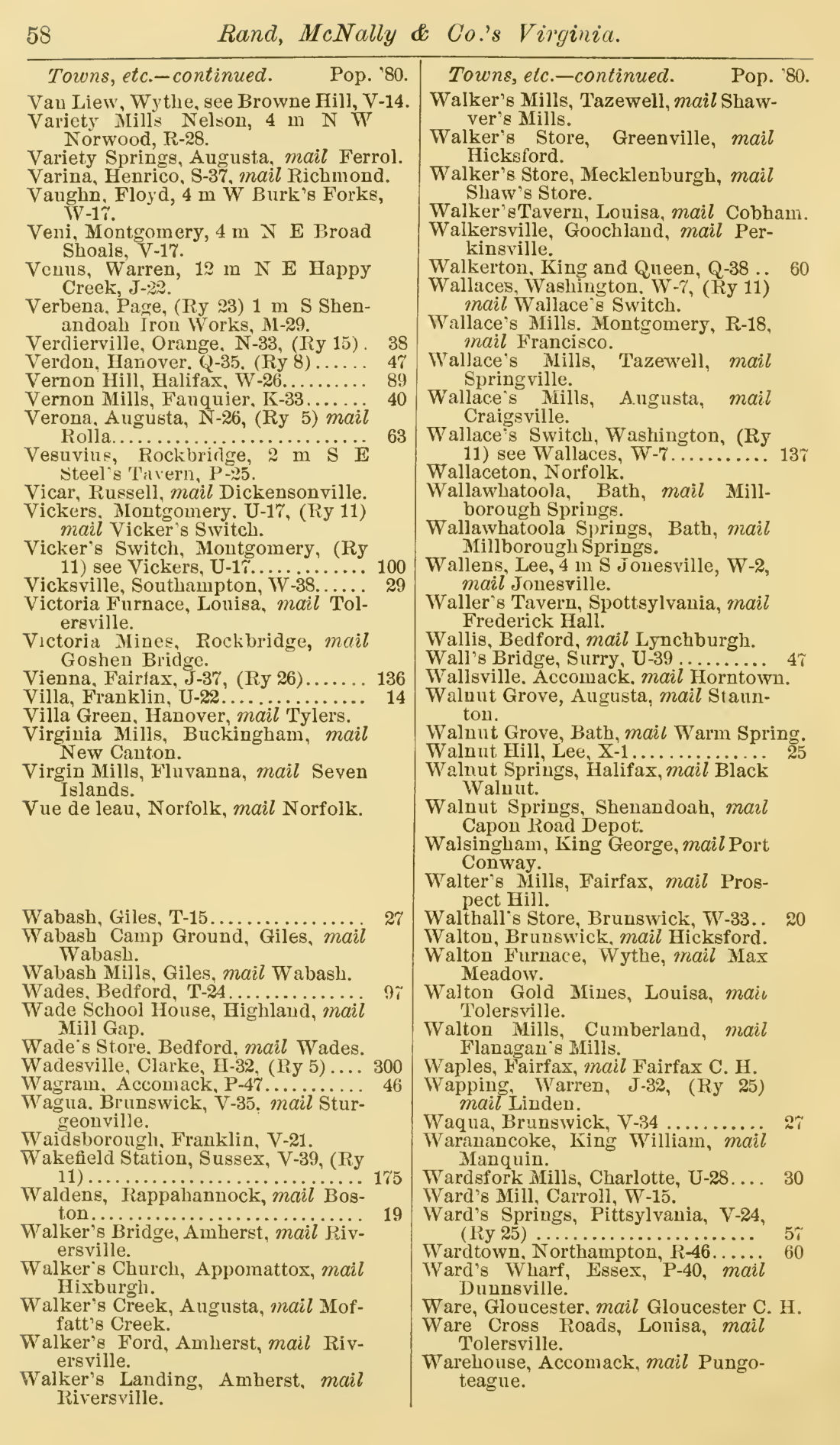
An alphabetically arranged list of all railroads in the state is included, along with the name of the express company operating over each line. The work contains an index of counties, lakes, and rivers, and lists population figures based on the census of 1880. Postal directions are provided for sending mail to locals that are not post offices. A section for towns, counties, and other locations includes population data and map coordinates. Examples of listed railways include the Baltimore & Ohio, Chesapeake & Ohio, and Norfolk & Western. Counties such as Accomack, Albemarle, and Alexandria are listed with their square mileage and population.
Details
- Title
- Rand, McNally's indexed railroad and county map of Virginia
- Publisher
- Chicago
- Published
- 1883
- Kind of book
- Pamphlets, letters and histories
- Country
- United States
- Pages in the PDF
- 72
- Format
- PDF with a searchable text layer
- Scanned from the copy at
- The Library of Congress
Inside the book
More pamphlets, letters and histories
 United StatesRandom Readings in Racy Rhyme1865 · 72 pagesComplete PDF$7.99
 United StatesRapid transit act, 18911891 · 46 pagesComplete PDF$7.99
 CanadaRapport de Mr1885 · 16 pagesComplete PDF$7.99
 Pamphlets, letters and historiesRates of toll to be charged upon the Pennsylvania canal and railways1835 · 11 pagesComplete PDF$7.99
 Britain and IrelandRating of railways to the editor of the Railway times1844 · 40 pagesComplete PDF$7.99
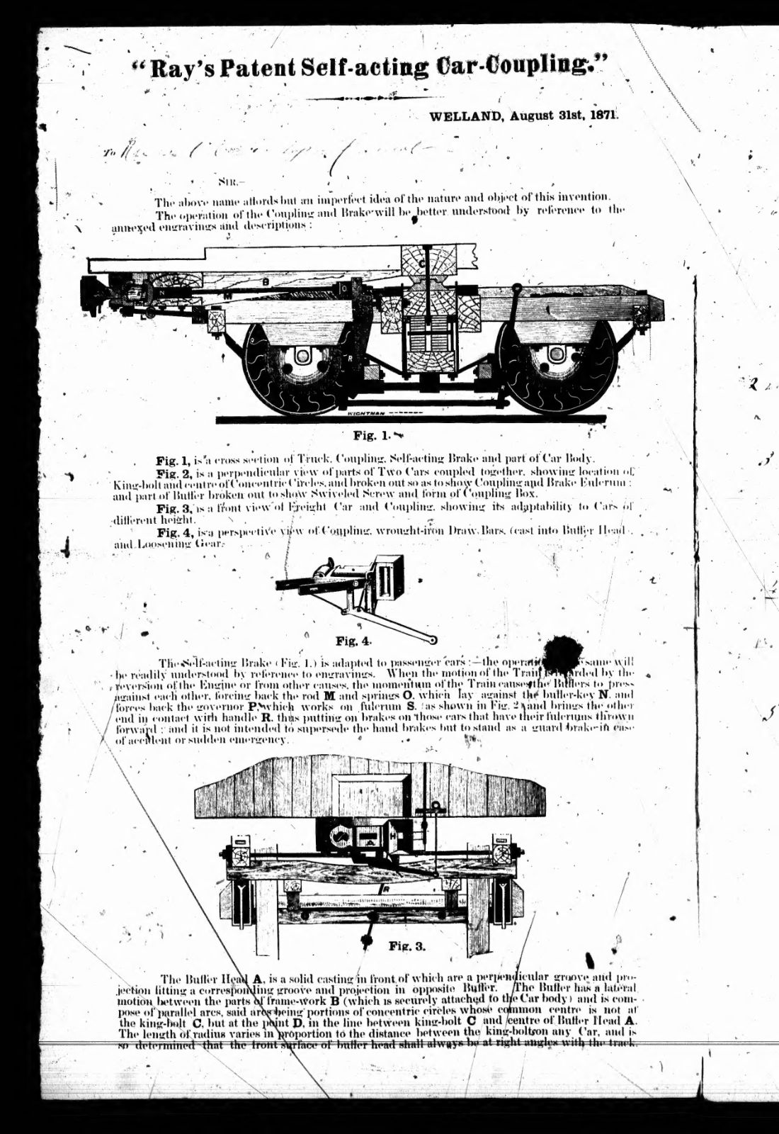 Pamphlets, letters and historiesRay's patent self-acting car-coupling1871 · 4 pagesComplete PDF$7.99
 United StatesReading for the railroad1848 · 120 pagesComplete PDF$7.99
 Britain and IrelandReadings for railways1849 · 188 pagesComplete PDF$9.99