Canadian Pacific Railway
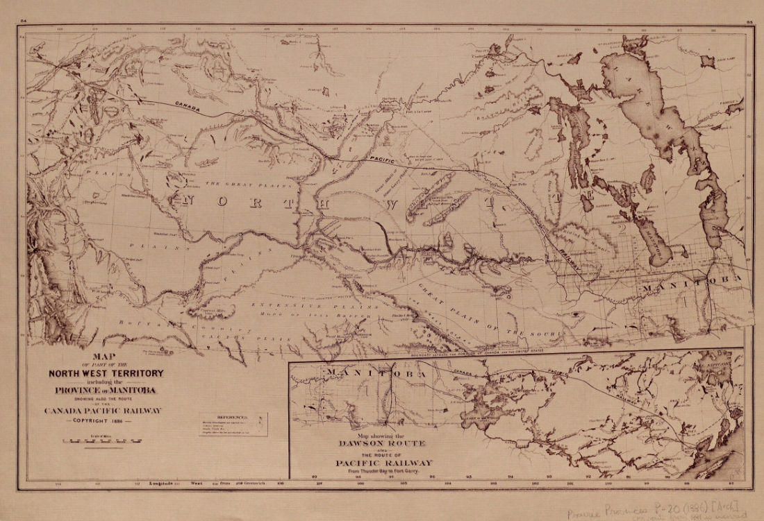
Map of part of the North West Territory including the Province of Manitoba, showing also the route of the Canadian Pacific Railway.
1886 · 1 page
$7.99
Download it from your account as soon as you have paid, as often as you need.
About this book
Map of part of the North West Territory including the Province of Manitoba, showing also the route of the Canadian Pacific Railway is a guide dated 1886. It focuses on the North West Territory and the Province of Manitoba, specifically illustrating the route of the Canada Pacific Railway.
References provided on the map indicate that heights above the sea are recorded in feet, and the scale is given in miles. Longitude is measured from Greenwich. The map includes the Dawson Route and the route of the Pacific Railway from Thunder Bay to Fort Garry. Other features shown include Sweet Grass Hills.
Details
- Title
- Map of part of the North West Territory including the Province of Manitoba, showing also the route of the Canadian Pacific Railway.
- Publisher
- Canada Bank Note Co., Montreal
- Published
- 1886
- Kind of book
- Guides, timetables and rule books
- Railway
- Canadian Pacific Railway
- Country
- Canada
- Pages in the PDF
- 1
- Format
- PDF with a searchable text layer
Canadian Pacific Railway
Every book for this railwayMore from the Canadian Pacific Railway
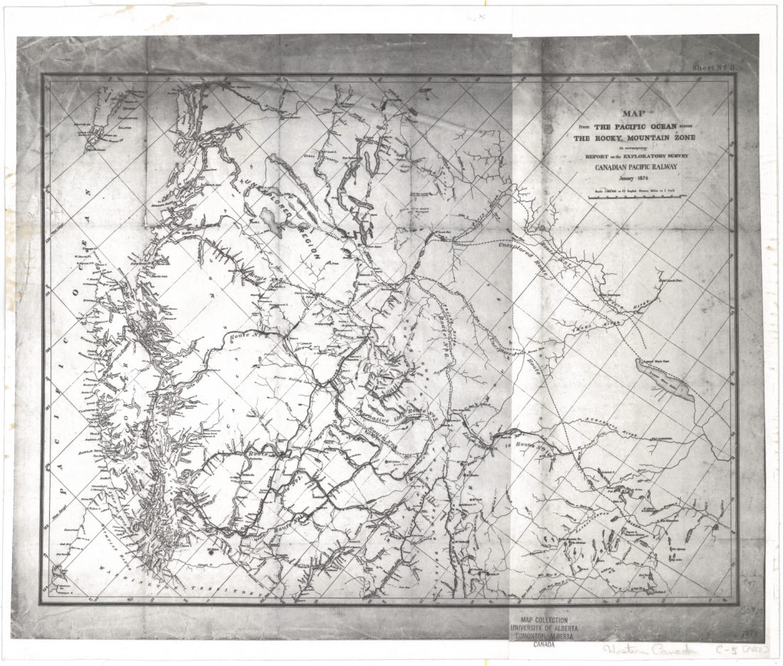 Canadian Pacific RailwayMap1874 · 1 pageComplete PDF$7.99
 Canadian Pacific Railway CompanySketch of the proposed line of overland railroad through British North America1869 · 28 pagesComplete PDF$7.99
 Canadian Pacific Railway CompanyThe problem of Canada1880 · 82 pagesComplete PDF$7.99
 Canadian Pacific Railway CompanyReport1882 · 1,024 pagesComplete PDF$24.99
 Canadian Pacific Railway CompanySome startling facts relating to the Canadian Pacific Railway and the north-west lands1880 · 87 pagesComplete PDF$7.99
 Canadian Pacific Railway CompanyPapers in connection with the construction of the Canadian Pacific railway between dominion, imperial, and provincial governments1880 · 181 pagesComplete PDF$9.99
 Canadian Pacific Railway CompanyThe Canadian Pacific Railway1881 · 183 pagesComplete PDF$9.99
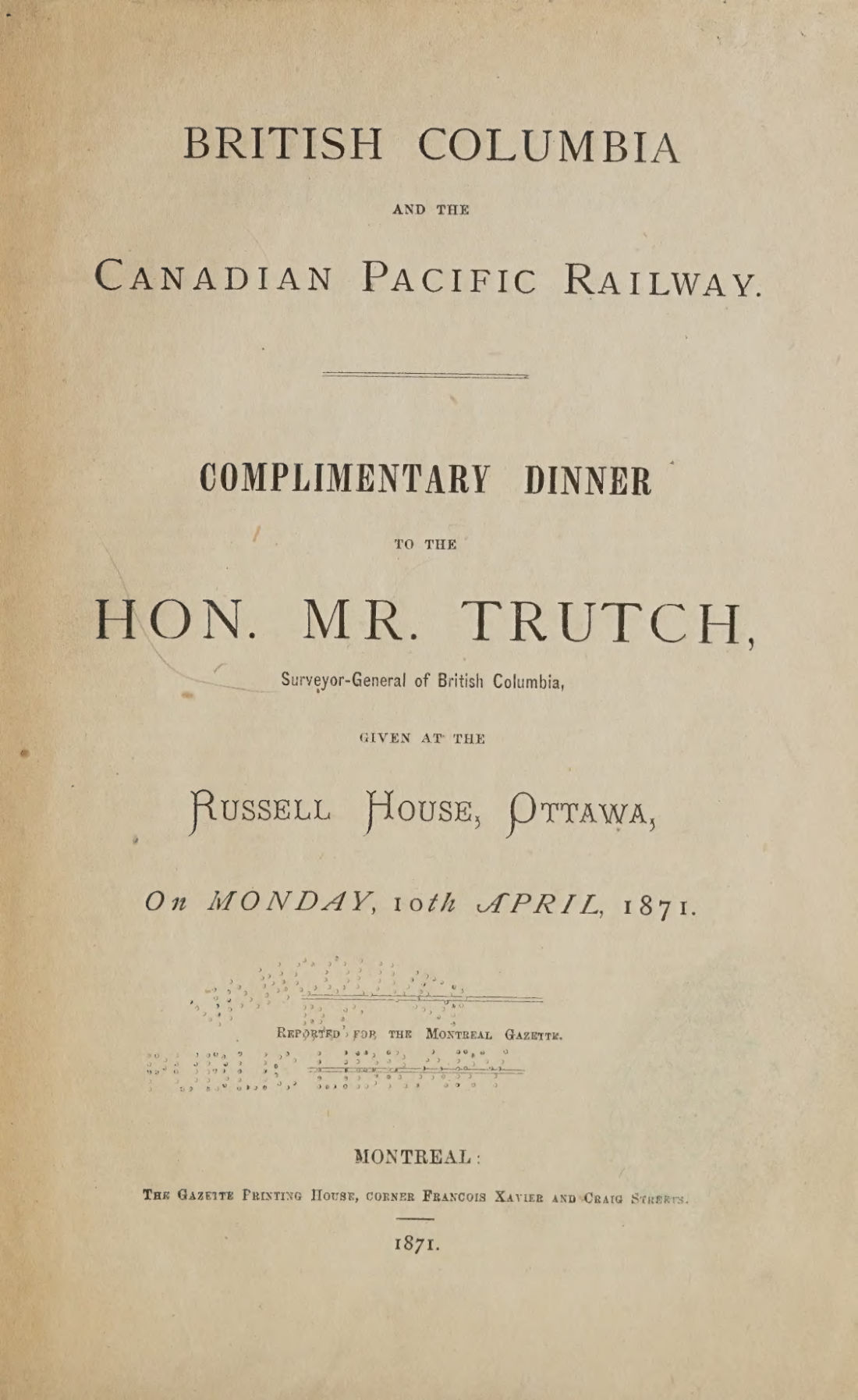 Canadian Pacific Railway CompanyBritish Columbia and the Canadian Pacific Railway1871 · 20 pagesComplete PDF$7.99