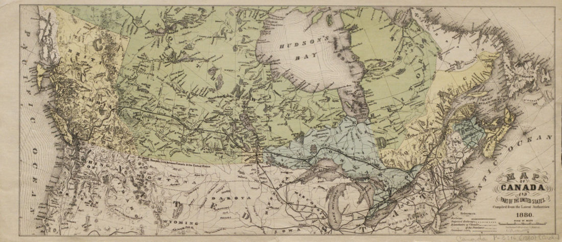
Canada
Map of Canada and part of the United States.
1880 · 1 page
$7.99
Download it from your account as soon as you have paid, as often as you need.
Details
- Title
- Map of Canada and part of the United States.
- Publisher
- Copp Clark & Co., Toronto
- Published
- 1880
- Kind of book
- Guides, timetables and rule books
- Country
- Canada
- Pages in the PDF
- 1
- Format
- PDF with a searchable text layer
Guides, timetables and rule books
All guides, timetables and rule booksMore guides, timetables and rule books
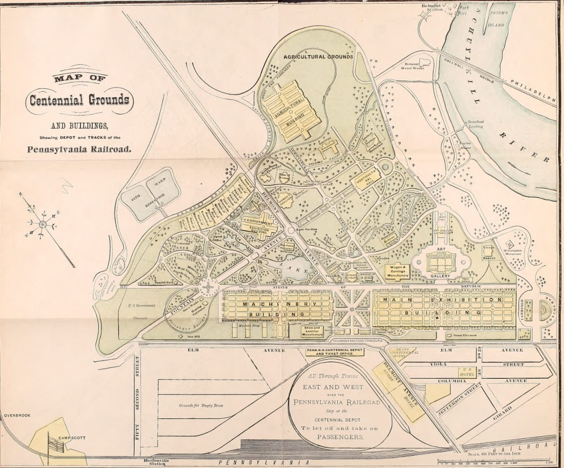 Guides, timetables and rule booksMap of Centennial Grounds and buildings showing depot and tracks of the Pennsylvania Railroad1876 · 2 pagesComplete PDF$7.99
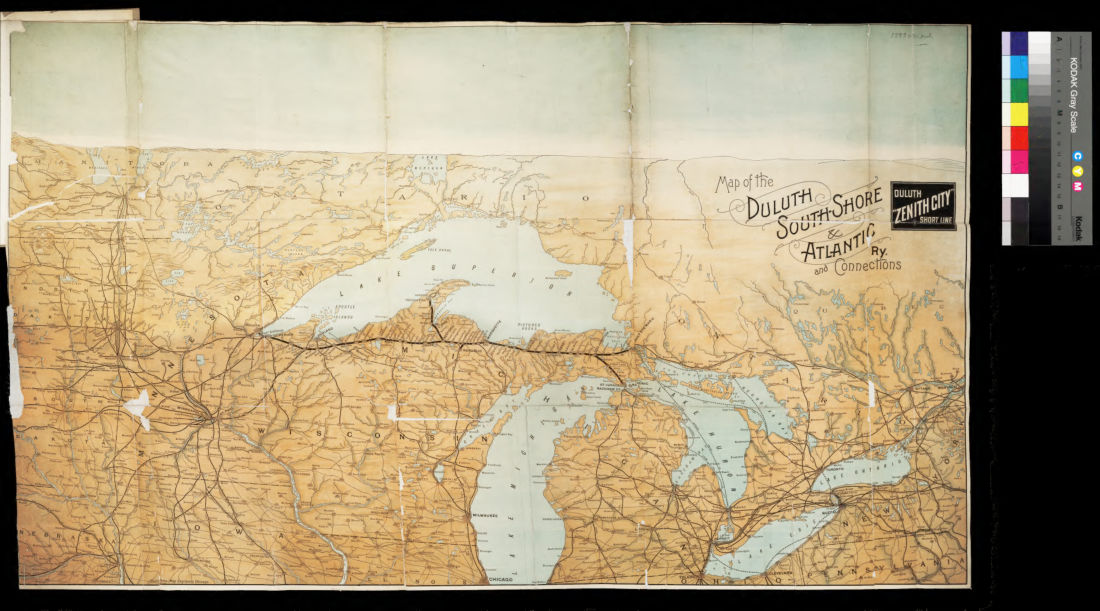 Guides, timetables and rule booksMap of the Duluth South-Shore & Atlantic Ry. and connections1890 · 1 pageComplete PDF$7.99
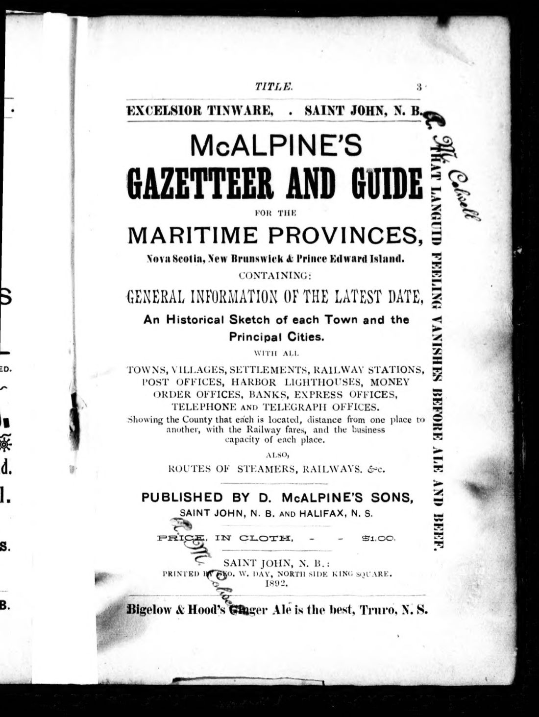 CanadaMcAlpine's gazetteer and guide for the Maritime Provinces, Nova Scotia, New Brunswick & Prince Edward Island1892 · 694 pagesComplete PDF$19.99
 CanadaMcAlpines' gazetteer and guide of the Maritime Provinces, Nova Scotia, New Brunswick and Prince Edward Island1883 · 297 pagesComplete PDF$14.99
 United StatesMinature illustrated railway guide between Chicago & N.Y1873 · 70 pagesComplete PDF$7.99
 United StatesMitchell's new traveller's guide through the United States and the Canadas1855 · 166 pagesComplete PDF$9.99
 United StatesMitchell's traveller's guide through the United States1836 · 94 pagesComplete PDF$7.99
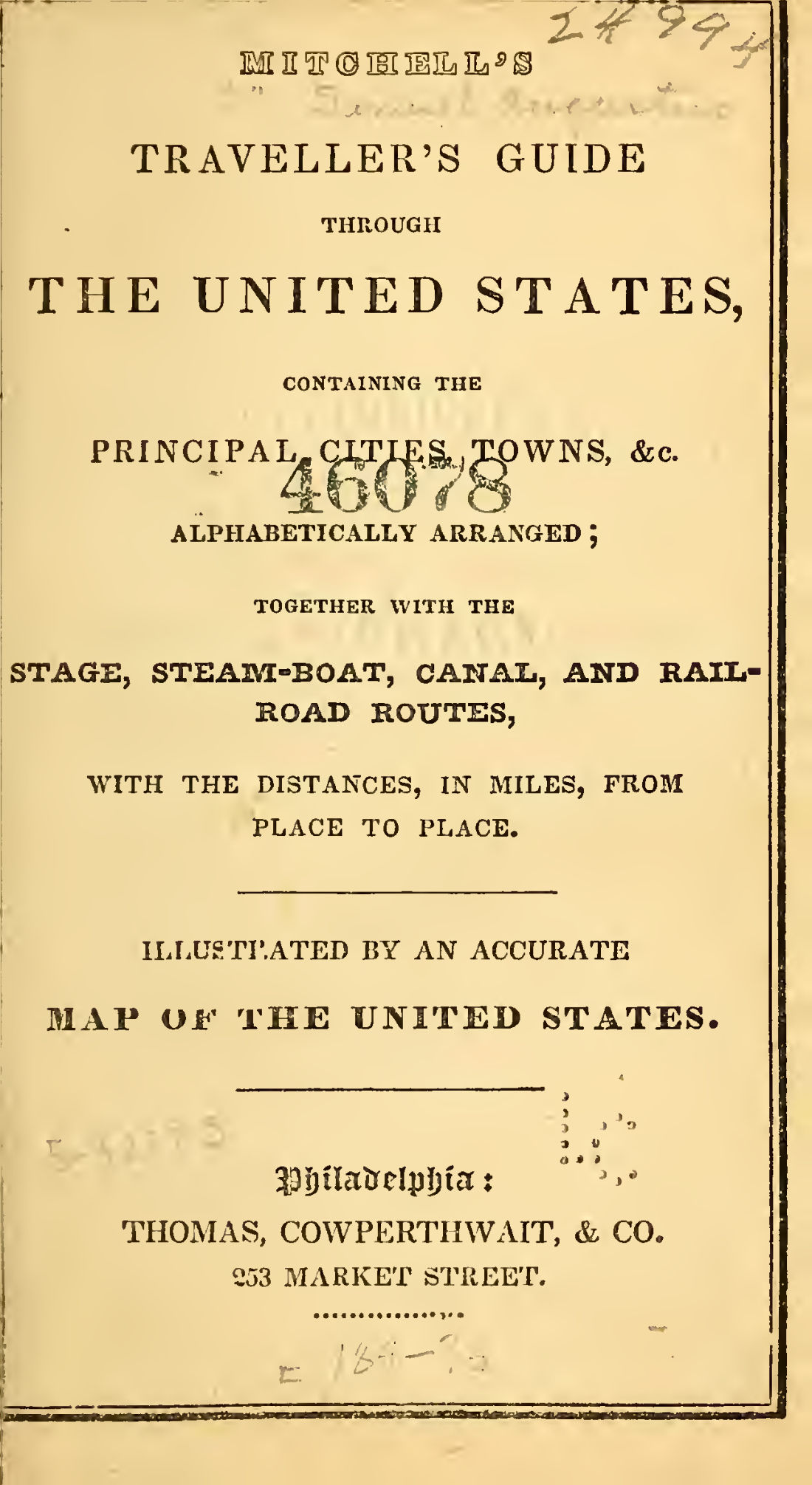 United StatesMitchell's traveller's guide through the United States1836 · 84 pagesComplete PDF$7.99