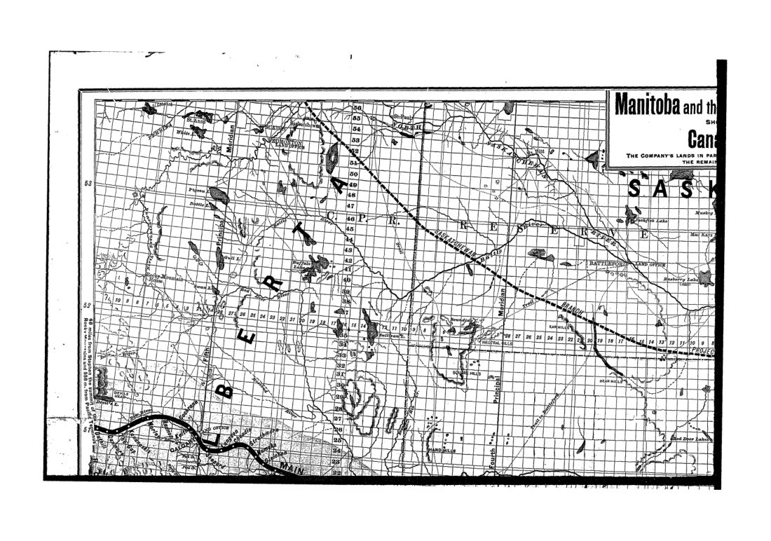
Land map of Manitoba and Canadian North West
1886 · 16 pages
Download it from your account as soon as you have paid, as often as you need.
About this book
Land map of Manitoba and Canadian North West is a pamphlet concerning land grants and railway lines. It was printed by Canada Bank Note Co, located at 626 Craig Street, Montreal.
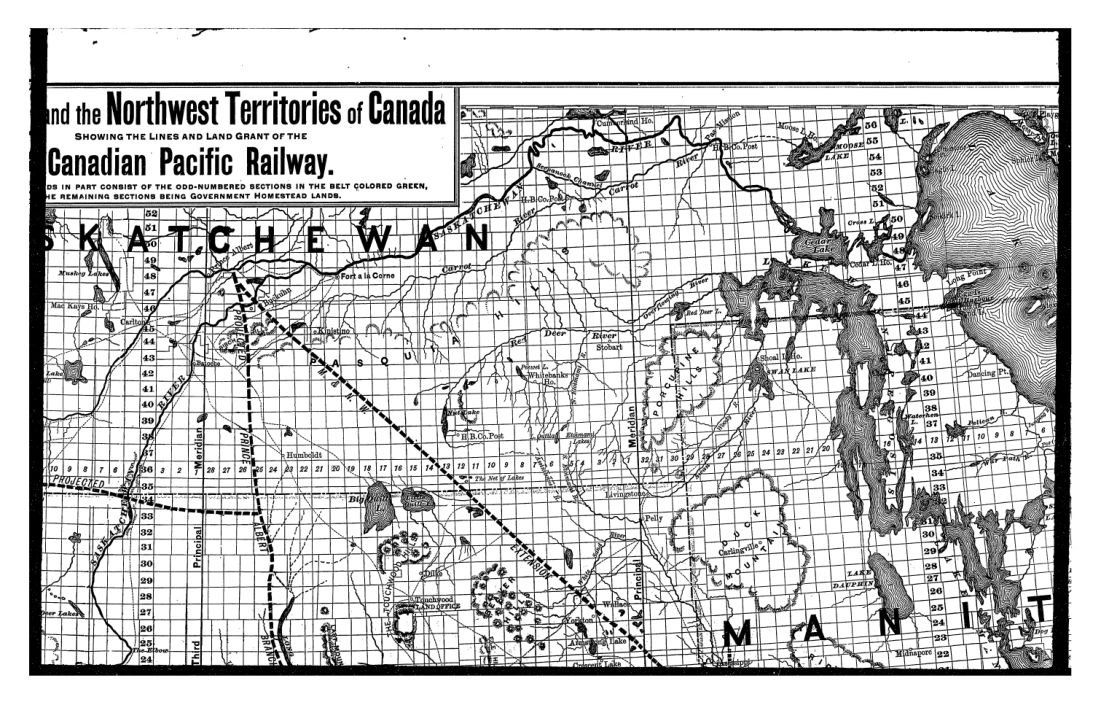
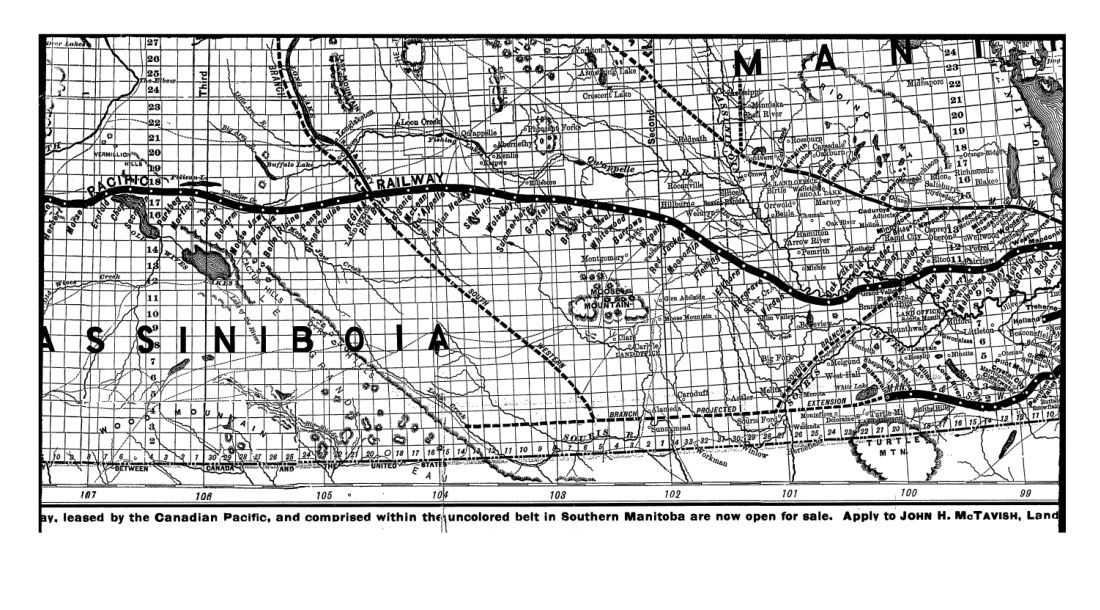
Maps within the work show the lines and land grant of the Canadian Pacific Railway. One section identifies Southern Manitoba as the garden of the province and marks the line of the Manitoba and Southwestern Railway. The text explains that company lands in part consist of odd-numbered sections in a belt coloured green, while remaining sections are government homestead lands. A notice states that lands leased by the Canadian Pacific, located within the uncoloured belt in Southern Manitoba, are open for sale. Interested parties are told to apply to John H. McTavish, Land.
Details
- Title
- Land map of Manitoba and Canadian North West
- Publisher
- [Canadian Pacific Railway] ([Montreal])
- Published
- 1886
- Kind of book
- Pamphlets, letters and histories
- Country
- Canada
- Pages in the PDF
- 16
- Format
- PDF with a searchable text layer
Inside the book
More pamphlets, letters and histories
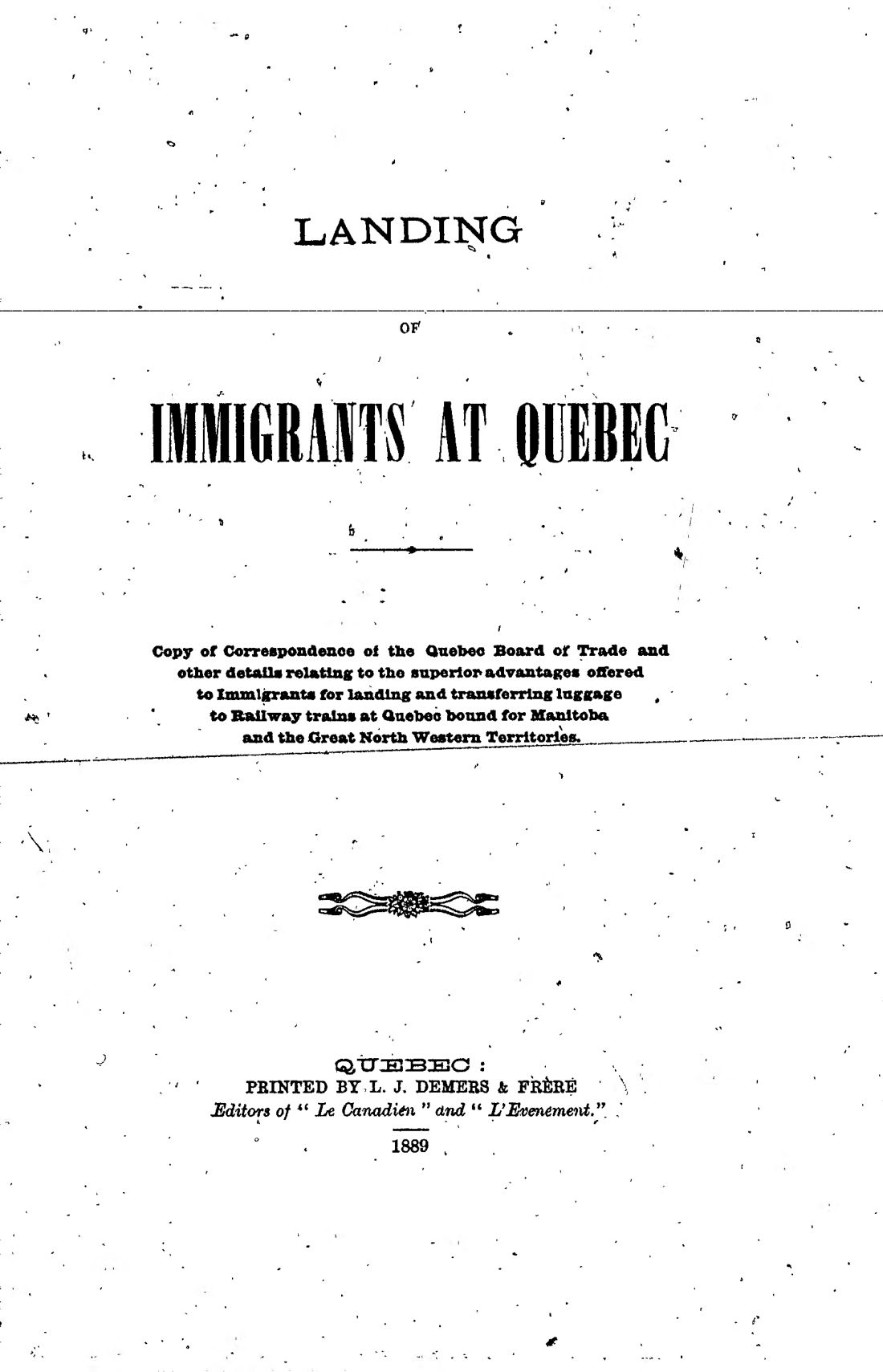 CanadaLanding of immigrants at Quebec1889 · 19 pagesComplete PDF$7.99
 CanadaLanding of immigrants at Quebec1889 · 20 pagesComplete PDF$7.99
 United StatesLandscape gardening1891 · 370 pagesComplete PDF$14.99
 United StatesLandscape gardening1891 · 368 pagesComplete PDF$14.99
 United StatesLandscape gardening1891 · 368 pagesComplete PDF$14.99
 United StatesLandscape gardening1891 · 361 pagesComplete PDF$14.99
 United StatesLaw of eminent domain, and of railroads and warehouses1888 · 492 pagesComplete PDF$14.99
 United StatesLease of the Portland and Ogdensburg railway company to the Maine central railroad company1888 · 30 pagesComplete PDF$7.99