Great Western Division of the Grand Trunk Ry. of Canada, the great international route between the east & west
1889 · 17 pages
Download it from your account as soon as you have paid, as often as you need.
About this book
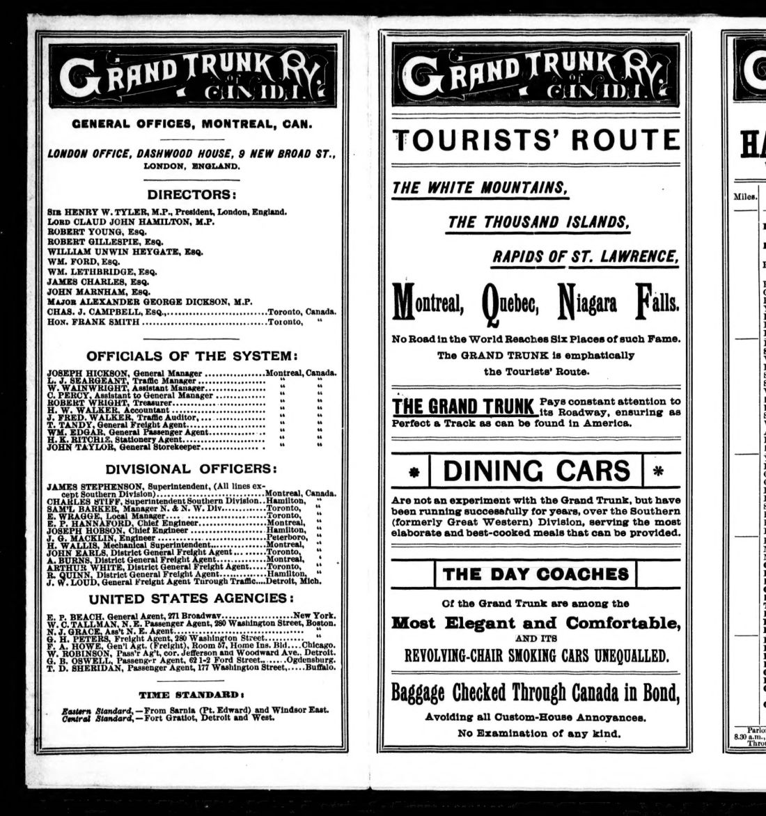
This pamphlet describes the Great Western Division of the Grand Trunk Ry. of Canada, presented as a route between the east and west. It was issued from general offices in Montreal, Canada, and a London office at Dashwood House. The text lists directors, including Henry W. Tyler and Lord Claud John Hamilton, alongside officials such as Accountant H. W. Walker.
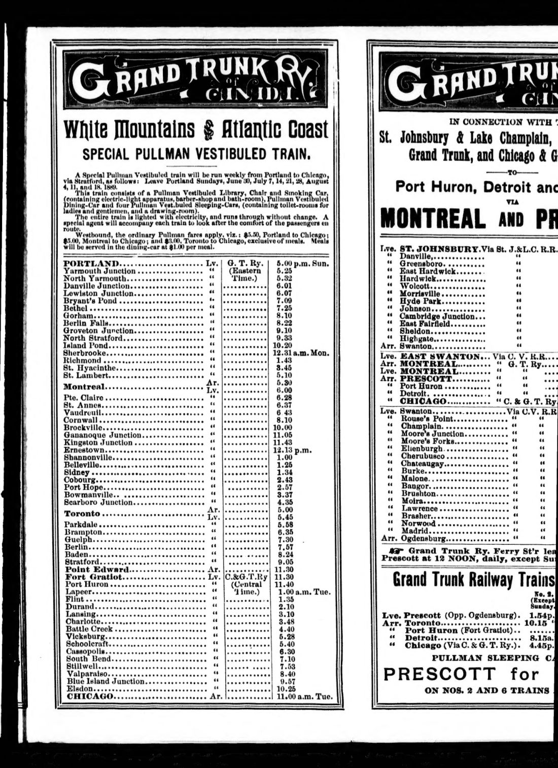
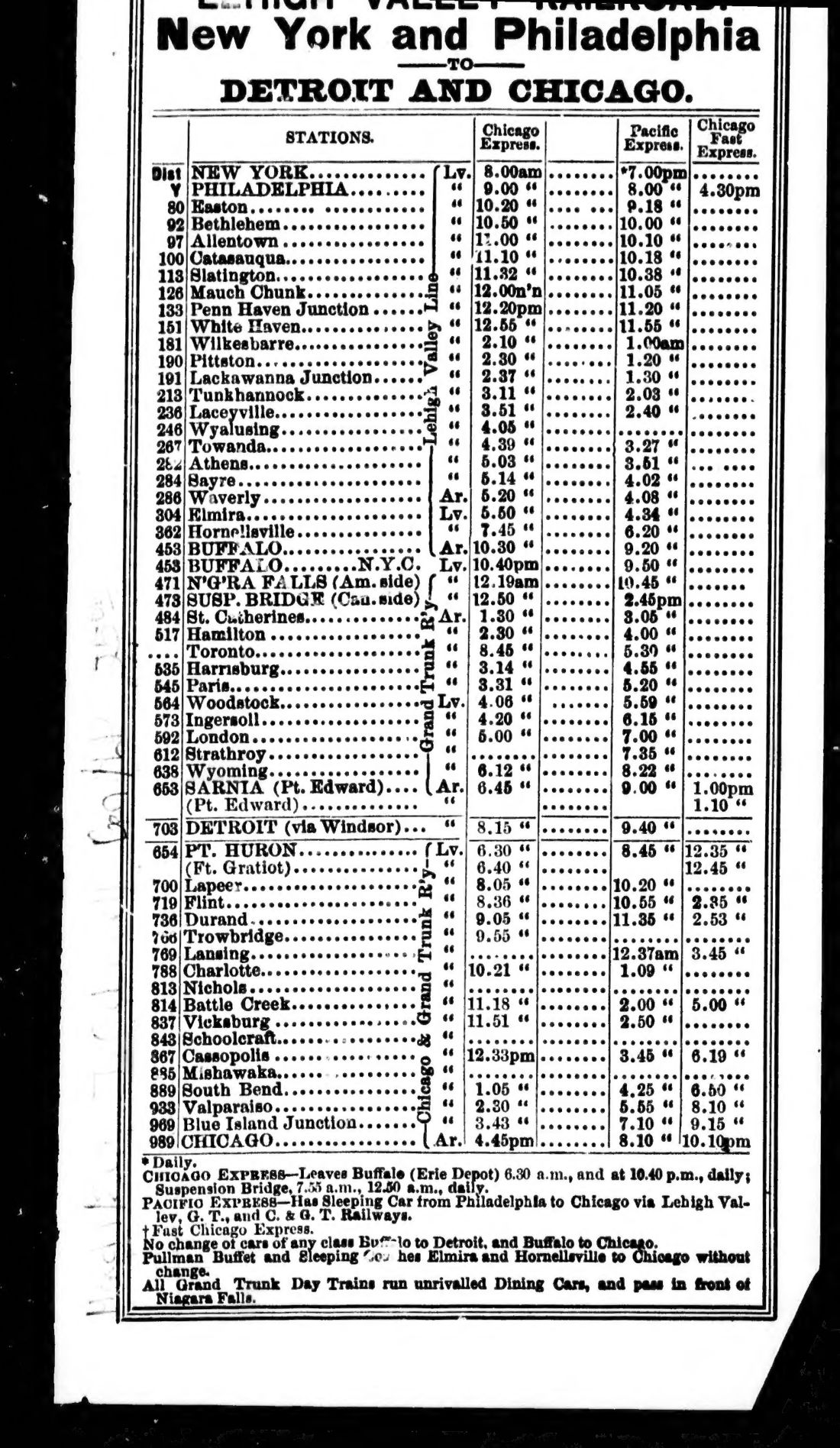
The content focuses on the Tourists' Route, mentioning destinations such as the White Mountains, the Thousand Islands, and Niagara Falls. It highlights the use of dining cars and revolving-chair smoking cars. Further schedules cover routes involving the St. Johnsbury & Lake Champlain, Central Vermont, and Chicago & Grand Trunk railways, as well as the West Shore Railroad.
Details
- Title
- Great Western Division of the Grand Trunk Ry. of Canada, the great international route between the east & west
- Publisher
- Boston : Rand Avery Supply Co.
- Published
- 1889
- Kind of book
- Pamphlets, letters and histories
- Country
- United States
- Pages in the PDF
- 17
- Format
- PDF with a searchable text layer
- Scanned from the copy at
- Canadiana.org
Inside the book
More pamphlets, letters and histories
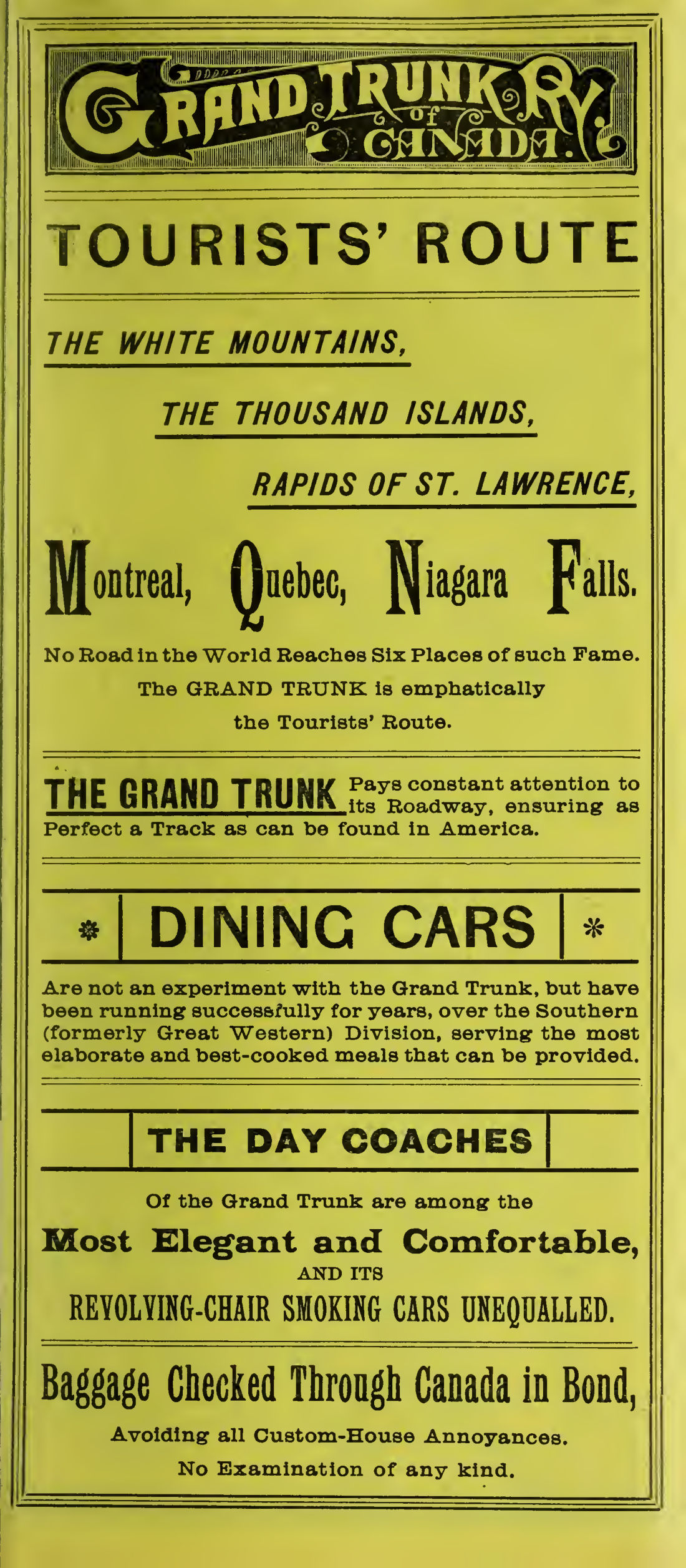 United StatesGreat western division of the Grand Trunk Ry. of Canada, the great international route between the east & west1889 · 20 pagesComplete PDF$7.99
 Britain and IrelandGuaranteed securities1858 · 158 pagesComplete PDF$9.99
 CanadaHarvest news, 18901890 · 20 pagesComplete PDF$7.99
 United StatesHealth and pleasure on "America's greatest railroad."1890 · 316 pagesComplete PDF$14.99
 United StatesHealth and pleasure on America's greatest railroad1890 · 312 pagesComplete PDF$14.99
 United StatesHealth and pleasure resorts and summer homes accessible by the picturesque Harlem Railroad1889 · 80 pagesComplete PDF$7.99
 Britain and IrelandHistorical account of the navigable rivers, canals, and railways, of Great Britain1831 · 734 pagesComplete PDF$19.99
 Britain and IrelandHistorical account of the navigable rivers, canals, and railways, throughout Great Britain, as a reference to Nichols, Priestley & Walker's new map of inland navigation, derived from original and parliamentary documents in the possession of Joseph Priestley, esq1831 · 751 pagesComplete PDF$19.99