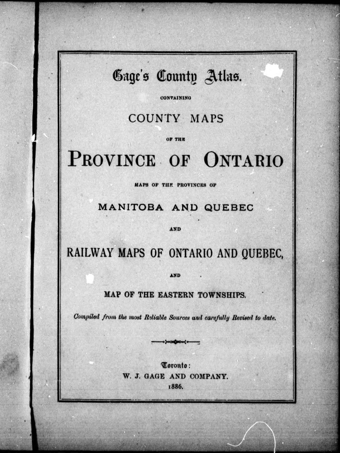
Gage's county atlas : containing county maps of the province of Ontario, maps of the provinces of Manitoba and Quebec and railway maps of Ontario and Quebec and map of the eastern townships
1886 · 56 pages
Download it from your account as soon as you have paid, as often as you need.
About this book
Gage's county atlas is a pamphlet containing maps of the province of Ontario and the provinces of Manitoba and Quebec. It was compiled from reliable sources and published in Toronto by W. J. Gage and Company.
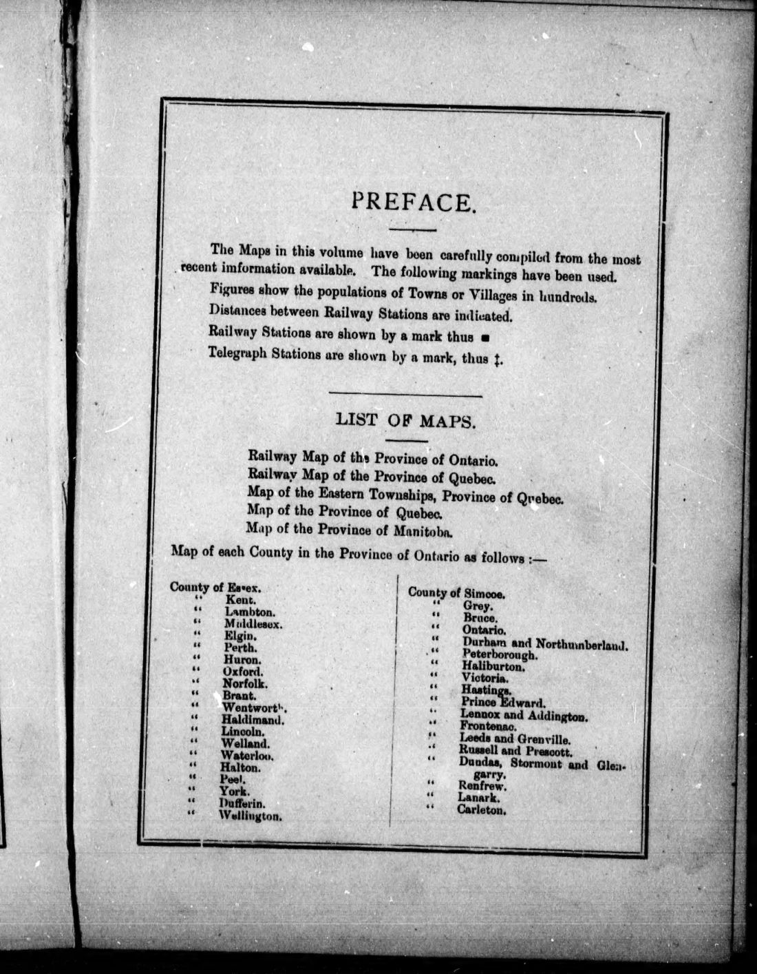
Railway maps of Ontario and Quebec are included, alongside a map of the Eastern Townships. The work provides maps for each county in the province of Ontario, including the County of Simcoe, Kent, Bruce, Ontario, Elgin, Durham, Perth, Peterborough, Huron, Haliburton, Oxford, Victoria, Hastings, Norfolk, Brant, Prince Edward, Lennox and Addington, Haldimand, Frontenac, Leeds and Grenville, and Russell and Prescott. Railway systems mentioned include the Northern & Northwestern System, Grand Trunk System, Canadian Pacific System, and Michigan Central System. In Quebec, railways listed are the South Eastern, Central Vermont, Quebec Central, and Canada Atlantic. Markings indicate populations of towns or villages, distances between railway stations, and the locations of telegraph stations.
Details
- Title
- Gage's county atlas : containing county maps of the province of Ontario, maps of the provinces of Manitoba and Quebec and railway maps of Ontario and Quebec and map of the eastern townships
- Publisher
- Toronto : W. J. Gage
- Published
- 1886
- Kind of book
- Pamphlets, letters and histories
- Country
- Canada
- Pages in the PDF
- 56
- Format
- PDF with a searchable text layer
- Scanned from the copy at
- Canadiana.org
Inside the book
More pamphlets, letters and histories
 United StatesGeneral Benjamin Harrison - Relentless Foe of Labor1888 · 15 pagesComplete PDF$7.99
 Britain and IrelandGeneral classification of goods by merchandise trains on railways1857 · 28 pagesComplete PDF$7.99
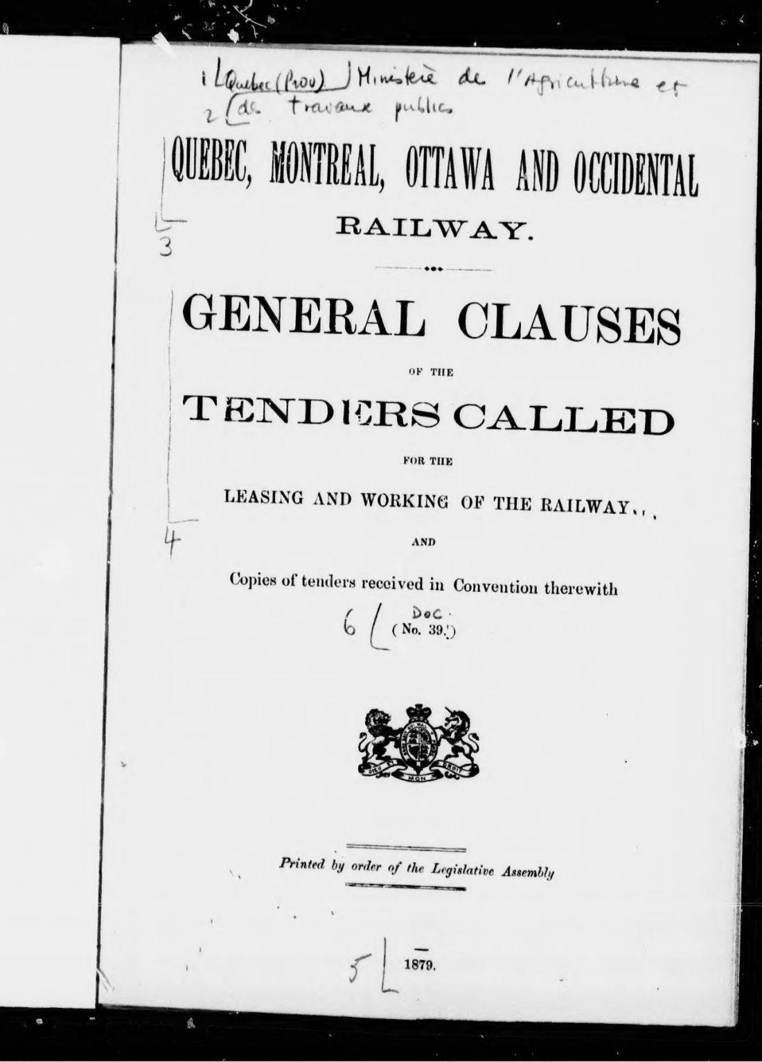 CanadaGeneral clauses of the tneders called for the leasing and working of the railway and copies of tenders received in convention therewith, no. 391879 · 34 pagesComplete PDF$7.99
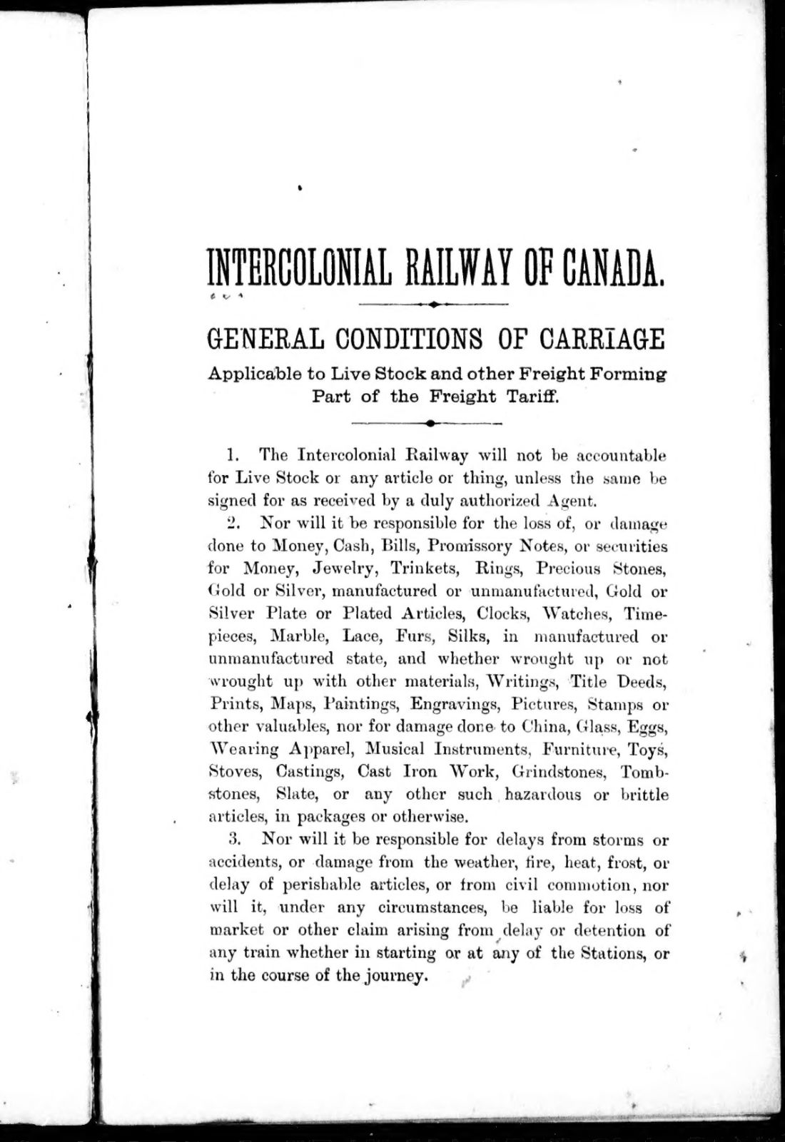 CanadaGeneral conditions of carriage1889 · 11 pagesComplete PDF$7.99
 United StatesGeneral railroad and telegraph laws of the State of Pennsylvania1883 · 412 pagesComplete PDF$14.99
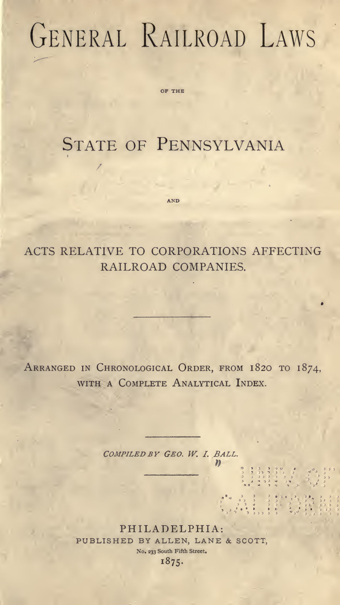 United StatesGeneral railroad laws of the State of Pennsylvania and acts relative to corporations affecting railroad companies1874 · 280 pagesComplete PDF$14.99
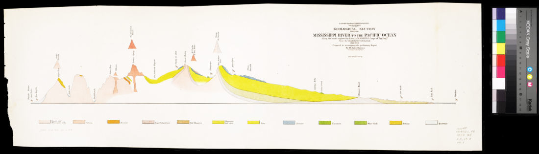 United StatesGeological section1854 · 1 pageComplete PDF$7.99
 United StatesGeorge M1881 · 950 pagesComplete PDF$19.99