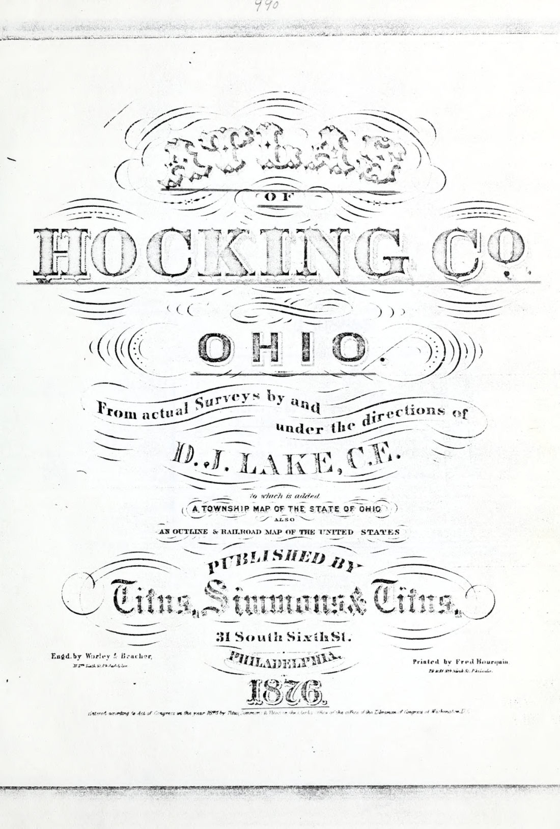
Atlas of Hocking county, Ohio : from actual surveys by and under the direction of D. J. Lake, C. E., to which is added a township map of the state of Ohio also an outline & railroad map of the United States
D. J. cn Lake · 1876 · 67 pages
Download it from your account as soon as you have paid, as often as you need.
About this book
Atlas of Hocking county, Ohio was compiled from actual surveys by and under the direction of D. J. Lake, C. E. It was engraved by Worley & Beaches and printed by Fred. The work includes a township map of the state of Ohio and an outline and railroad map of the United States.
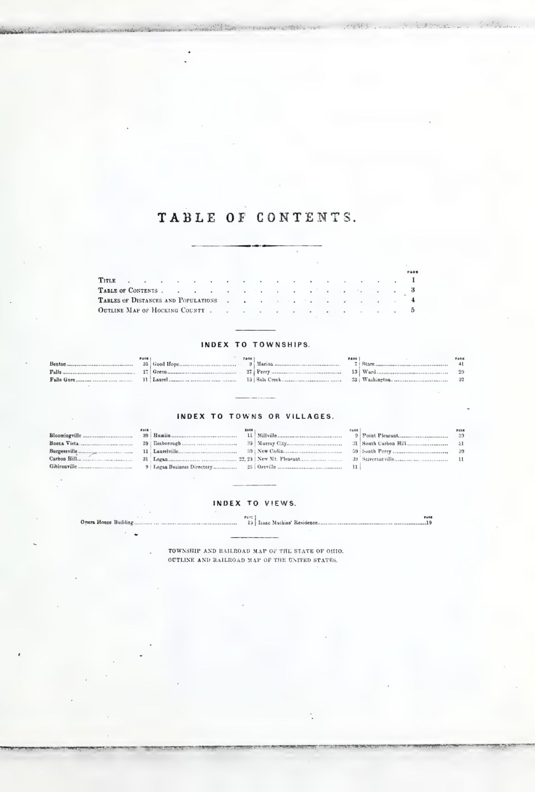
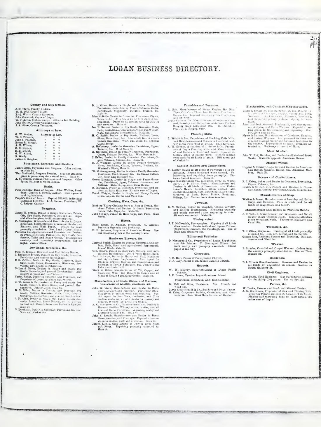
Contents include tables of distances and populations, an outline map of Hocking County, and an index to townships, towns, and villages. Specific locations listed include Bloomingville, Buena Vista, Carbon Hill, Gibisonville, and New Mt. Pleasant. Population data is provided for the state of Ohio by counties and for the United States based on the census of 1860 and 1870. A Marion Township Business Directory is also included, listing individuals such as J. B. Martin.
Details
- Title
- Atlas of Hocking county, Ohio : from actual surveys by and under the direction of D. J. Lake, C. E., to which is added a township map of the state of Ohio also an outline & railroad map of the United States
- By
- D. J. cn Lake
- Publisher
- Philadelphia : Titus, Simmons & Titus
- Published
- 1876
- Kind of book
- Company reports and surveys
- Country
- United States
- Pages in the PDF
- 67
- Format
- PDF with a searchable text layer
- Scanned from the copy at
- Allen County Public Library Genealogy Center
Inside the book
More company reports and surveys
 United StatesBiennial report (Georgia1876 · 304 pagesComplete PDF$14.99
 Company reports and surveysBiennial report of the Board of Railroad Commissioners of the State of Vermont1888 · 826 pagesComplete PDF$19.99
 United StatesBiennial report of the Railroad Commission of the State of, Volume 31891 · 100 pagesComplete PDF$7.99
 Company reports and surveysBiennial report of the Railroad Commissioner of the State of Vermont, for1890 · 811 pagesComplete PDF$19.99
 United StatesBiennial Report of the Railroad Commissioner of the State of Vermont1872 · 60 pagesComplete PDF$7.99
 United StatesBiennial Report of the Railroad Commissioner of the State of Vermont1874 · 82 pagesComplete PDF$7.99
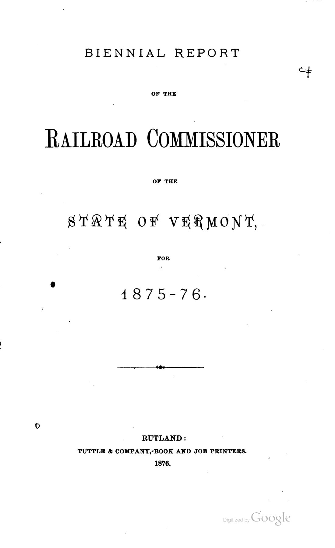 United StatesBiennial Report of the Railroad Commissioner of the State of Vermont1876 · 228 pagesComplete PDF$9.99
 United StatesBiennial Report of the Railroad Commissioner of the State of Vermont1882 · 64 pagesComplete PDF$7.99